

Explore the region
About Laobiangou Valley
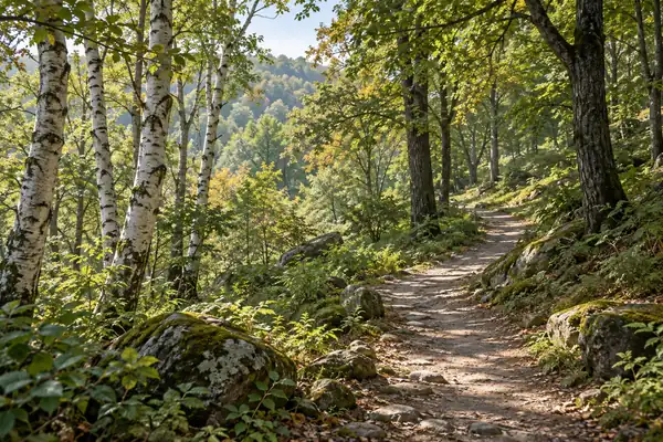
It forms one part of the wider Dashi Lake–Laobiangou scenic complex. Within Laobiangou, Jushichuan lies on the eastern slope of Shifeng Ridge, where fallen blocks of rock are scattered through the woodland. Some boulders are tucked beneath the trees; others rise above them.
The Yongluo River takes its name from the rocks crowding its channel. Cascades and maple-covered slopes accompany the watercourse. To its east, Wanxiang Valley adds further rock scenery, including Longcaojian, a narrow channel where the stream runs between raised stone walls.
What to look for
- Jushichuan's large boulders among the forest trees.
- The Yongluo River's rock-filled bed, cascades and maple slopes.
- Longcaojian's rock channel in Wanxiang Valley.
Location & getting there
Getting to Laobiangou Valley
Check weather, trail access and the last return service. A mountain or forest area is not one entrance, and a map’s central pin may be far from the trailhead.
- Search for 老边沟 with 本溪市 and 本溪满族自治县.

Find Laobiangou Valley
老边沟 · 本溪满族自治县
No reliable map pin yet: search by the Chinese name.
Sources & visit information
The linked sources support the identity and background described in this introduction. Opening hours, admission, activity availability and exact arrival arrangements have not been comprehensively checked. Confirm current visitor information with the venue; the original catalogue locality and editorial review flag are retained.