Photo & map credits
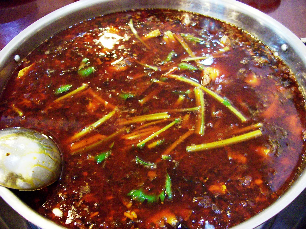
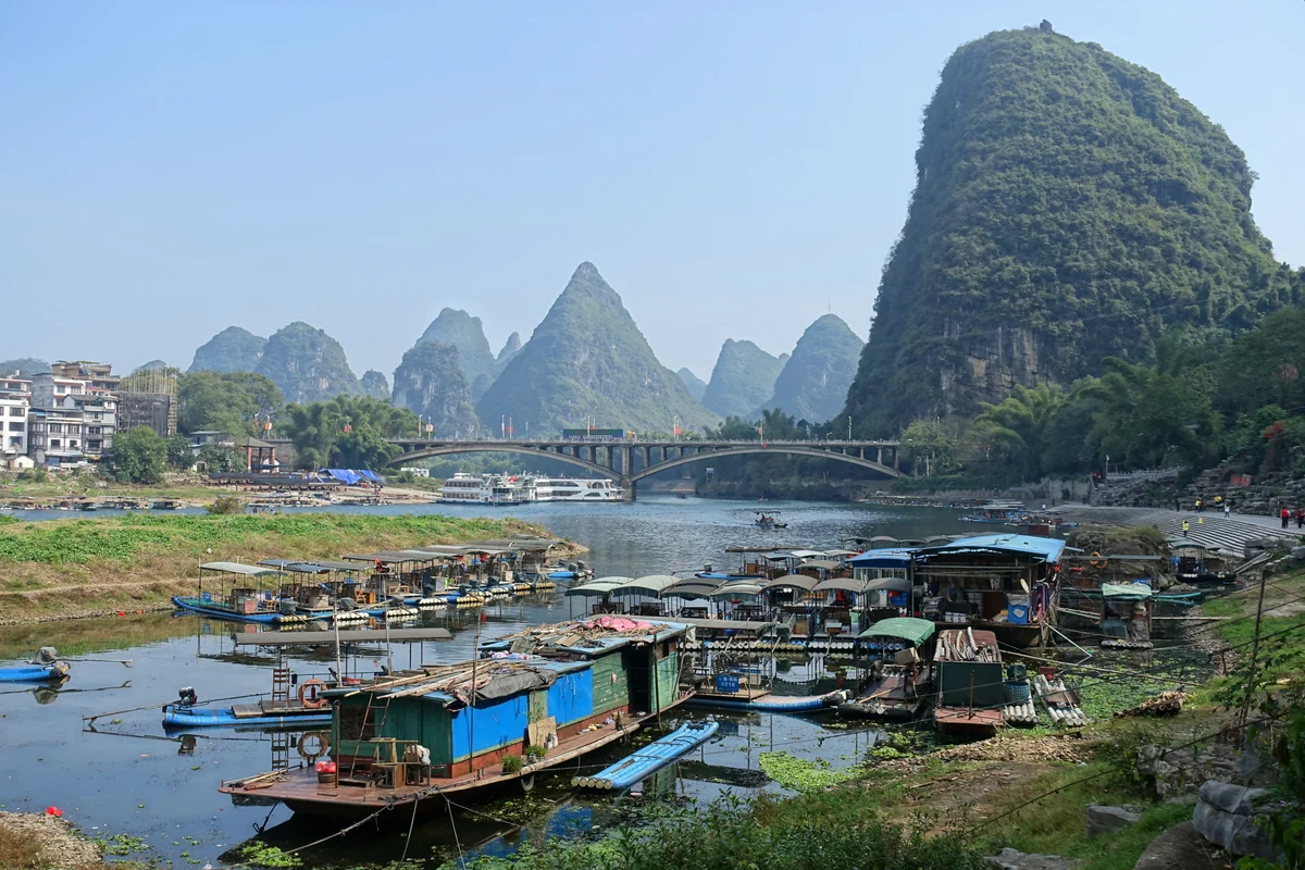
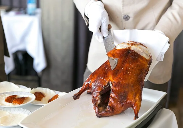
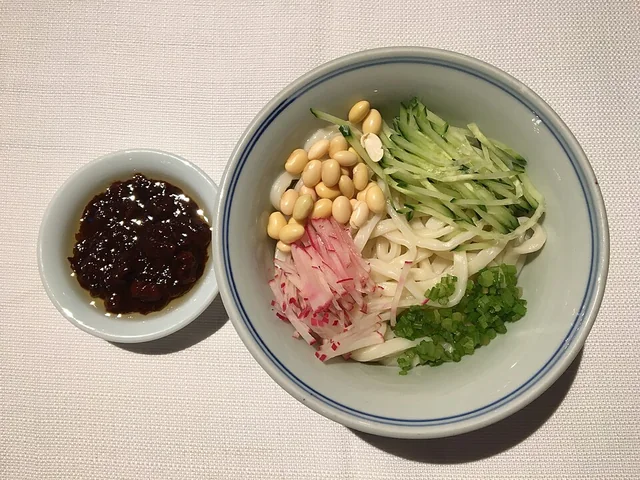
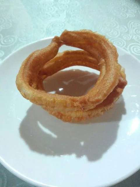
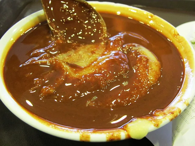
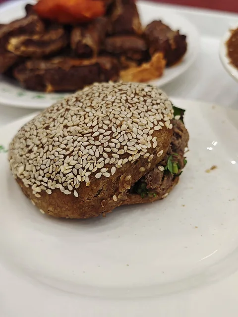
Thank you to the photographers and open-data contributors whose work helps bring these places to life.
Showing 1–48 of 8433 photo credits
Maps
Interactive street maps use OpenStreetMap contributors. Each travel pin links to its place reference.
Geographic outlines use Natural Earth public-domain data. Map markers identify places to explore. The maps are not navigation charts or an authoritative statement of boundaries.
The Lienchiang island outlines supplement the existing Taiwan travel outline using National Land Surveying and Mapping Center data: 2020 County boundaries, COUNTY_MOI_1090820, transformed from TWD97 to WGS84 and generalized for display. 資料來源:內政部國土測繪中心,2020 直轄市、縣市界線 COUNTY_MOI_1090820(連江縣島嶼)。 This open data is publicly released under the Open Government Data License, version 1.0 and may be used subject to its conditions and obligations. 此開放資料依政府資料開放授權條款第1版進行公眾釋出,使用者於遵守其條件及義務之前提下,得利用之。
AI food illustrations
Food cards marked AI dish illustration / AI 菜品示意图 use original OpenAI-generated illustrations. They illustrate the dish and are not photographs of restaurant servings.
AI visual references
Some dish, place and area guides use AI-generated illustrations as general visual references. A related food type or landscape illustration may be shared across guides; it is not a photograph or an exact reconstruction of the named place or serving. AI 生成示意图仅供参考,同类菜品或景观可复用,不代表该菜品或地点的真实照片。
Other images
The homepage hero, the Beijing, Shanghai and Chengdu destination-card images, and sample-article illustrations were generated for the design preview. The nine travel-interest images are real photographs, credited above.