


Explore the region
About Pan'an Lake Wetland
Mining left uneven depressions with persistent standing water. Restoration worked with those conditions, combining treatment of the subsidence land with farmland reconstruction, ecological repair and wetland landscaping. The lake therefore records a change in both the physical landscape and the former coal district’s use of its land.
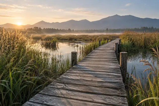
Reed beds, wooded margins, islands and shallows give the water a varied edge. Habitat work has included caring for pond-cypress woodland, restoring shallow areas for birds and planting lotus and water lilies in conservation ponds. These different habitats explain much of the park’s ecological interest, even when birds are difficult to spot.
What to look for
- The lake and its irregular margins, shaped by the restoration of mining-subsidence land.
- Reed beds, islands and shallows that provide contrasting wetland habitats.
- Wooded watersides and aquatic planting associated with the habitat-restoration project.
Location & getting there
Getting to Pan'an Lake Wetland
Check the open visitor route and follow the site’s rules on distance, food and photography. Conservation areas may limit access beyond designated paths.
- Search for 潘安湖湿地 with 徐州市 and 贾汪区.
Find Pan'an Lake Wetland
潘安湖湿地 · 贾汪区
No reliable map pin yet: search by the Chinese name.
Sources & visit information
The linked sources support the identity and background described in this introduction. Opening hours, admission, activity availability and exact arrival arrangements have not been comprehensively checked. Confirm current visitor information with the venue; the original catalogue locality and editorial review flag are retained.