

Photo adjustments
EXIF orientation normalized; resized without changing aspect ratio; converted to WebP. No subject edits.
Explore the region
About Grassland Sky Road
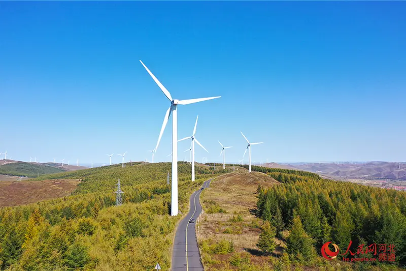
The original road was completed at the end of 2011, linking farming communities as well as opening the plateau-edge scenery to visitors. Its changing height and deeply cut valleys give the route a more varied profile than the name 'grassland' alone suggests.
The landscape also records decades of work on shelterbelts and ecological restoration. Planting along the road began in the 1980s, and villages such as Huanghuaping have developed guesthouses and other tourism businesses around the resulting mix of fields, grass and trees.
What to look for
- Rolling hills and deeply cut valleys along the road
- Roadside shelterbelts and restored woodland
- The farming-village landscape around Huanghuaping
Location & getting there
Getting to Grassland Sky Road
Confirm the road and activity operator, weather and return transport. Stay on permitted routes and do not treat open land as unrestricted access.
- Search for 草原天路 with 张家口市 and 张北县/崇礼区.
Find Grassland Sky Road
草原天路 · 张北县/崇礼区
No reliable map pin yet: search by the Chinese name.
Sources & visit information
The linked sources support the identity and background described in this introduction. Opening hours, admission, activity availability and exact arrival arrangements have not been comprehensively checked. Confirm current visitor information with the venue; the original catalogue locality and editorial review flag are retained.