

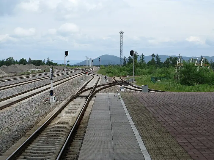
Photo adjustments
Full frame retained; proportionally resized and converted to WebP. No retouching or changes to the photographed subject. Card displays may crop the view.
Explore the region
About Erdaobaihe
The Meirensong International Sculpture Park combines outdoor artwork with trees near the Baihe river corridor. Nearby, the aerial-walkway park offers a raised perspective on the town and pine landscape. Choose these local parks for a gentler introduction, leaving the northern scenic area's mountain transport and admission for a separate plan.
Erdaobaihe is a town in Antu County, Yanbian, subdivided into Hongfeng, Anbei, Changsheng, Tiebei, Toudaobaihe, Changbai, Baoma and Naitoushan villages, with a total population of 4,791 recorded in 2020. Its economy relies on tourism owing to its position next to Changbai Mountain. Unlike most other towns in China, Erdaobaihe administers only its built-up area, with the surrounding villages instead administered directly by Antu County, while the forest areas around the town fall under the Changbai Mountain Management Committee and the Baihe Forestry Bureau.
What to look for
- Outdoor sculptures and pine planting in Meirensong International Sculpture Park.
- The elevated walkway and viewing platform at the Meirensong aerial-walkway park.
Location & getting there
Getting to Erdaobaihe
For the town parks, use Baihe Street: the sculpture park lies between it and the river, and the aerial-walkway park is at the junction with Heping Road. Mountain visitors instead report to the North Scenic Area visitor centre at the southern end of Erdaobaihe Avenue.
Combine your visit
Suggested order within this visit:
-
Meirensong International Sculpture Park
Begin with the outdoor artwork and planted landscape.
-
Meirensong aerial-walkway park
Compare the ground-level park with a raised view, subject to platform access.
This sequence is an editorial suggestion based on the features described in the sources. Access to individual buildings or areas should be checked locally; no travel time or shared admission is implied.
Find Erdaobaihe
二道白河 · 延边朝鲜族自治州
The pin marks the area, not the entrance.
More places nearby
Approximate straight-line distances between map pins, not travel distances.
Changbai Waterfall 长白山瀑布
46 km awayChangbai Waterfall descends from the northern outlet of Tianchi through the mountain's volcanic landscape. Its narrow upper stream opens into a dramatic fall above the valley, while the Julong hot-spring area below adds evidence…
View guide →Changbai Mountain Tianchi 长白山天池
49 km awayChangbai Mountain Tianchi fills a volcanic crater on the China–North Korea border, framed by steep, sparsely vegetated peaks. The contrast between the enclosed blue water and the broken volcanic rim is the main visual…
View guide →Changbai Mountain West Slope 长白山西坡
52 km awayChangbai Mountain's western route offers a broad view into Tianchi together with forest and volcanic landforms lower down. The ascent from the upper transport stop involves a substantial staircase, making mobility an important…
View guide →Sources & visit information
The sources below support the place-specific description and arrival information. Suggested combinations are editorial planning ideas; confirm current opening, entry arrangements and transport services for your date.
- Wikipedia: Erdaobaihe ↗
- Changbai Mountain administration: Erdaobaihe sculpture and aerial-walkway parks with street locations ↗
- Ministry of Culture and Tourism: northern visitor-centre location ↗
Visitor information adapted and edited from Wikipedia contributors · CC BY-SA 4.0. Source revision 1263944823.
Background paragraphs condensed from Wikipedia contributors, "Erdaobaihe", English Wikipedia · CC BY-SA 4.0. Source revision 1263944823.