

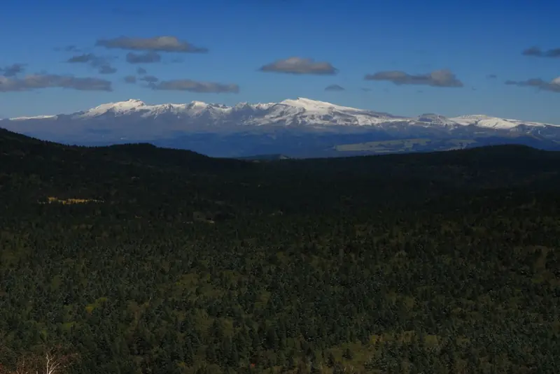
Photo adjustments
EXIF orientation normalized; resized without changing aspect ratio; converted to WebP. No subject edits.
Explore the region
About Wangtian’e Scenic Area
Wangtian’e is a volcanic landscape in Changbai Korean Autonomous County, known for rock formations and waterfalls along the Shisidaogou valley. Its appeal comes from the contrast between dark, strongly jointed rock, moving water and forest. The scenic valley is distinct from a summit-climbing objective.
The provincial landscape account describes formations such as Qianzhu Peak and Shizhu Cliff, where repeated rock columns create striking patterns. Waterfall sections, including Zhenzhulian, add a different scale and texture. These named viewpoints help visitors recognise particular features within a much larger mountain environment.
Look for the direction and arrangement of the rock columns, then compare them with the way water crosses ledges and drops into the valley. The geometry is visible even when flow is modest. Forest colour and water volume change with conditions, so the most reliable focus is the relationship between rock structure, slope and stream.
What to look for
- Compare the orientation of the rock columns.
- Look at the contact between waterfalls and stepped rock faces.
- Read the forested valley as part of a volcanic landscape.
Location & getting there
Getting to Wangtian’e Scenic Area
Use 长白县望天鹅 or 十四道沟望天鹅. Follow the official valley route, and confirm conditions after heavy rain before planning a visit.
- Use 望天鹅 with Jilin when searching for the visitor entrance.

Find Wangtian’e Scenic Area
望天鹅 · 长白朝鲜族自治县
No reliable map pin yet: search by the Chinese name.
Sources & visit information
Place identity, setting and described features checked against the linked institutional sources on 9 September 2026. Suggested observation and visiting sequences are editorial guidance. Current opening arrangements and access to individual interiors must be checked with the venue; this review adds no inferred map coordinates.