

Photo adjustments
Full frame retained; proportionally resized and converted to WebP. No retouching or changes to the photographed subject. Card displays may crop the view.
Explore the region
About Dachangshan and Xiaochangshan Islands
Both islands stretch mainly east to west, but their outlines differ. Dachangshan narrows in the middle, while Xiaochangshan has a hooked shape, rolling hills and a coast edged with reefs. The bridge ties these distinct island landscapes together across the intervening water.
Fishing and marine farming are central to the islands' character, with sea cucumbers, abalone and scallops among the area's products. Changhai haozi, the local fishermen's work songs, grew out of the need to coordinate labour at sea and form part of this maritime heritage.
What to look for
- Changshan Bridge, which connects the two islands across the sea.
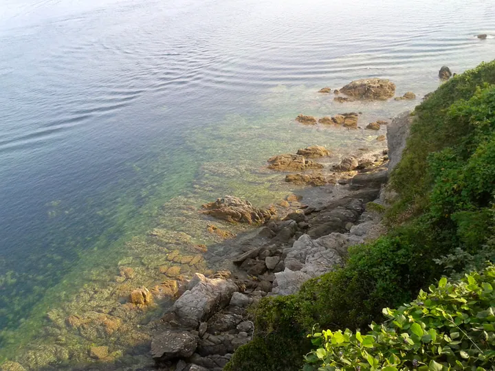
- Xiaochangshan's hilly outline and reef-fringed shore.
- The contrasting east–west island profiles and the sea channel between them.
Location & getting there
Getting to Dachangshan and Xiaochangshan Islands
Confirm ferry arrangements where needed, weather and any local restrictions on water access. A beach listing does not establish that swimming is permitted.
- Search for 大长山岛与小长山岛 with 大连市 and 长海县.
Find Dachangshan and Xiaochangshan Islands
大长山岛与小长山岛 · 长海县
No reliable map pin yet: search by the Chinese name.
Sources & visit information
The linked sources support the identity and background described in this introduction. Opening hours, admission, activity availability and exact arrival arrangements have not been comprehensively checked. Confirm current visitor information with the venue; the original catalogue locality and editorial review flag are retained.