

Photo adjustments
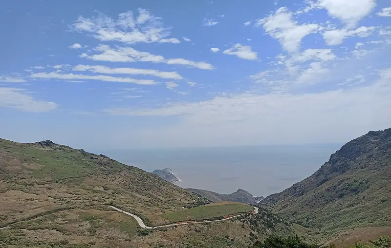
Full frame retained; EXIF orientation normalized, proportionally resized to at most 800 pixels and converted to WebP. No generated pixels or subject changes. Cards may crop the display.
About Yushan Island
Dayushan is roughly 5 km across and about 21 sq km in area, with a 30 km coastline and a high point, Hongjidong Mountain, of 541.4 m. On the plateau at about 200 m above the sea lie two spring-fed lakes, the large and small Tianhu; the peaks ringing them form a basin, and the character yu (盂, a bowl) in the island's name is said to come from that shape. Gentle slopes around the lakes carry an extensive grassland that local publicity calls the Tianshan of the South.
The island belongs to a small archipelago and is counted as one of the four main scenic sections of the Taimushan scenic area on the mainland opposite. The provincial ocean and fisheries department lists it as a national marine park, and in 2005 Chinese National Geography and partner media named it among China's ten most beautiful islands. Along the shoreline the sea has cut the rock into named features such as the Qiancengyan layered rocks and the Wudie reefs, and there are sandy beaches at Mazu Dashi shoal and Mangdang. Cultural remains include the Dashi Temple and old military works at Yanguwei.
What to look for
- The large and small Tianhu lakes on the summit plateau, the larger close to 1,000 mu in area, both fed by year-round springs
- The upland grassland surrounding the lakes, the so-called Tianshan of the South
- Wave-eroded rock formations along the coast, including the Wudie (five-layer) reefs, Haishi (sea lion) reef and the Qiancengyan layered rocks
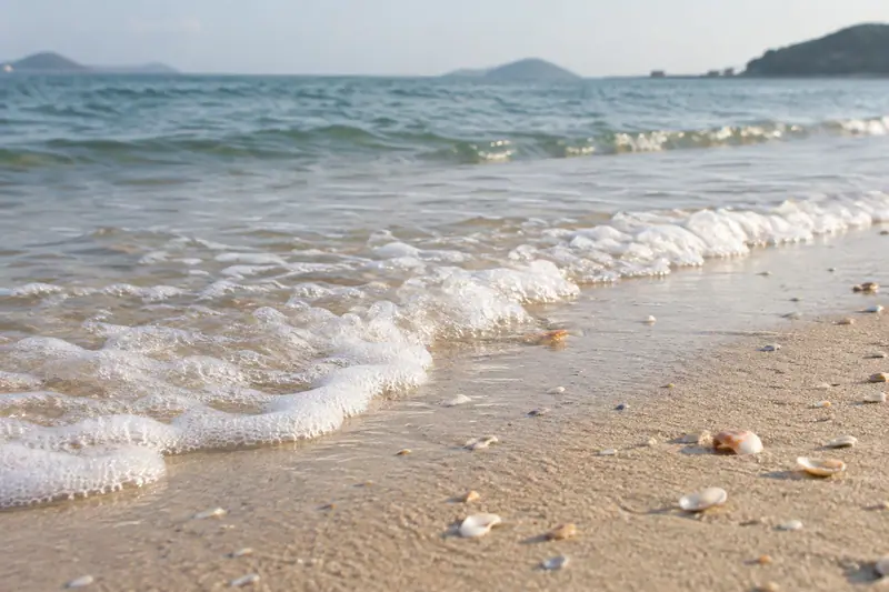
- The sandy beaches at Mazu Dashi shoal and Mangdang
- Cultural remains such as the Dashi Temple and the military installations at Yanguwei
Location & getting there
Getting to Yushan Island
Confirm ferry arrangements where needed, weather and any local restrictions on water access. A beach listing does not establish that swimming is permitted.
- Search for 嵛山岛 with 宁德市 and 福鼎市.
Find Yushan Island
嵛山岛 · 福鼎市
No reliable map pin yet: search by the Chinese name.
Sources & visit information
The linked sources support the identity and background described in this introduction. Opening hours, admission, activity availability and exact arrival arrangements have not been comprehensively checked. Confirm current visitor information with the venue; the original catalogue locality and editorial review flag are retained.