

Photo adjustments
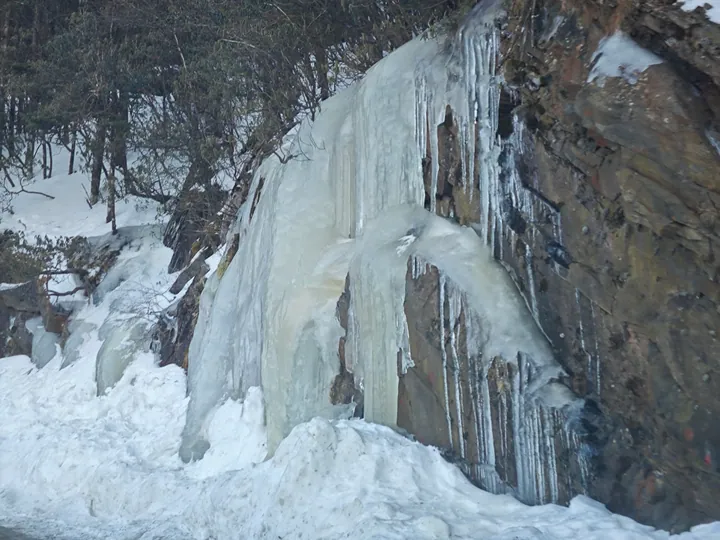
Full frame retained; proportionally resized and converted to WebP. No retouching or changes to the photographed subject. Card displays may crop the view.
Explore the region
About Shennongjia, Shennongding area
Shennong Valley and Banbiyan show different expressions of the region’s folded and eroded rock, while the forest sections reveal changes in vegetation with elevation. Choose a few named stops and a suitable walking distance rather than trying to cover the entire protected landscape. A scenic-area ticket does not authorise entry into restricted research or conservation zones, and wildlife sightings should be treated as chance encounters.
What to look for
- Shennong Valley’s highland rock-and-ridge landscape.
- Banbiyan’s weathered limestone forms and the surrounding mountain vegetation.
The surrounding area
A separate forest-region stay. Pick the specific managed scenic area and confirm a suitable base and return route.
Location & getting there
Getting to Shennongjia, Shennongding area
Use Muyu as one practical base and confirm the current Shennongding visitor entrance and internal transport arrangement. The Dajiuhu wetland has a separate Pingqian transfer system; it is not simply another short walk from the Shennongding viewpoint.
Combine your visit
A suggested order for exploring this place and its immediate setting.
-
Shennong Valley viewpoint神农谷观景点
Begin with the highland landforms from an open viewing area.
-
Banbiyan板壁岩
Compare the eroded limestone shapes on the designated path.
-
Open forest section开放森林步道
Choose a short permitted walk suited to the weather and elevation.
Check access to the individual stops. A suggested sequence does not imply a combined ticket or guaranteed transfer.
Find Shennongjia, Shennongding area
神农架神农顶 · 神农架林区
The pin marks the area, not the entrance.
More places nearby
Approximate straight-line distances between map pins, not travel distances.
Shennong Stream 神农溪
44 km awayShennong Stream enters the Yangtze near Badong through a landscape of steep limestone sides and reservoir-influenced water. Its visitor experience combines the gorge scenery with interpretation of the boat trackers who once…
View guide →Three Gorges · regional Yangtze corridor 长江三峡·跨区域河段
48 km awayThe Three Gorges name describes a long Yangtze corridor crossing the Chongqing–Hubei boundary, rather than one park gate. Qutang Gorge begins around Fengjie’s Baidicheng and Kuimen landscape; the sequence continues through Wu…
View guide →Three Gorges Dam 三峡大坝
95 km awayThe Three Gorges Dam visit is organised around viewing areas that explain a vast working water-engineering project. Tanziling gives the broadest reading of the dam and ship-lock arrangement; the 185 Platform brings the reservoir…
View guide →Sources & visit information
The sources below support the place-specific description and arrival information. Suggested combinations are editorial planning ideas; confirm current opening, entry arrangements and transport services for your date.