

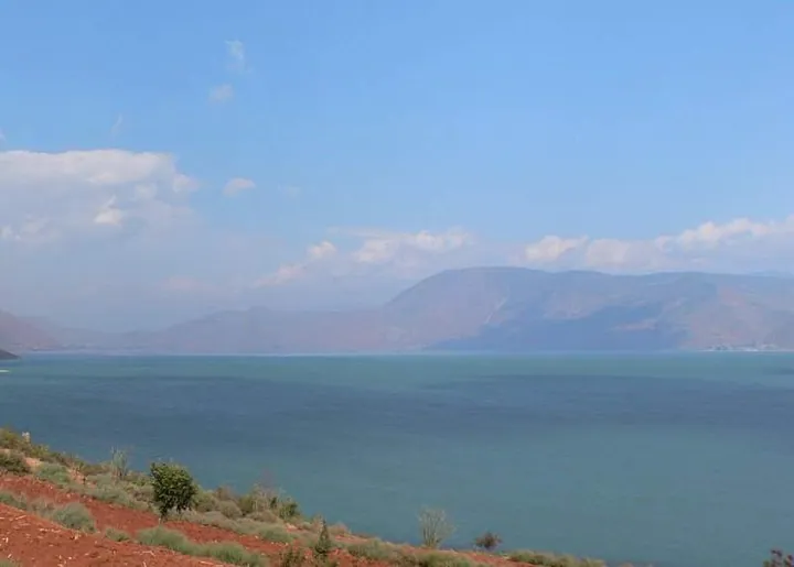
Photo adjustments
Full frame retained; proportionally resized and converted to WebP. No retouching or changes to the photographed subject. Card displays may crop the view.
Explore the region
About Chenghai Lake
At Jinsha Lishui, the lake-replenishment outlet provides a specific viewing stop where incoming water meets the lakeside landscape. The southern shore adds a cultural counterpart: Maojiawan’s Border Settlement Culture Museum and ancestral hall explain the communities around the lake. Choose one lakeside viewpoint and one village cultural stop rather than assuming the whole shore is open for unrestricted exploration.
Chenghai formed in the early Pleistocene as an outlet lake, draining through the Haikou River (海口河), historically called the Cheng River (程河), into the Jinsha River. After the middle Ming dynasty the water level fell, the Haikou River dried up, and the lake stopped draining outward, becoming a closed lake that has since turned brackish. In 1993 a diversion tunnel was built to bring water from the Xianren River (仙人河) into the lake to ease the decline in water level.
Chenghai is a tectonic fault lake (构造断陷湖泊) at an elevation of 1,501 or 1,503 meters, with a surface area of 74.6 square kilometers. Its catchment covers 228.9 square kilometers and is fed mainly by surface runoff and rainfall on the lake, since the rivers flowing into it are seasonal. It is one of Yunnan's nine plateau lakes (云南省九大高原湖泊) and is noted for growing natural Spirulina (天然螺旋藻).
What to look for
- Jinsha Lishui combines the replenishment outlet with lake and wetland views.
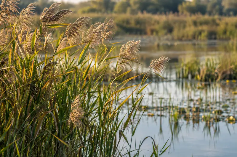
- Reeds and the surrounding slopes create a different scene from the denser resort shores elsewhere in Yunnan.
Location & getting there
Getting to Chenghai Lake
For a defined first stop, arrange a road transfer to Jinsha Lishui at Chenghai’s replenishment outlet in Yongsheng. The county’s visitor route also identifies Maojiawan on the southern shore for the museum and ancestral hall.
Combine your visit
Suggested order for the visit:
-
Jinsha Lishui
Look at the lake and replenishment waterscape from the public viewing area.
-
Permitted lakeside paths
Observe the reeds and changing shore views.
-
Maojiawan cultural sites
Make a separate road transfer for the museum or ancestral hall.
This is an editorial sequence of named spaces or places. It does not imply a verified walking connection or promise opening, ticket availability or a journey time.
Find Chenghai Lake
程海 · 永胜县
The pin marks the area, not the entrance.
More places nearby
Approximate straight-line distances between map pins, not travel distances.
Jinlong Bridge金龙桥
38 km awayJinlong Bridge, also called Zili Bridge, is an iron-chain crossing of the Jinsha River between the Lijiang and Yongsheng sides. Its suspended wooden deck and chains make the engineering legible from the riverbank. The crossing…
View guide →Lijiang Golden Pagoda Scenic Area丽江金塔景区
51 km awayThe Golden Pagoda complex stands at Dewei village in the Jinshan area of Lijiang. Its central landmark is Dongbao Zunsheng Stupa, whose gold-coloured form contrasts with the surrounding temple halls. Guanyin Hall and the…
View guide →Old Town of Lijiang丽江古城
55 km awayLijiang’s Dayan old town is threaded by channels and small bridges between timber-framed buildings. Carved windows, tiled roofs and the branching streets around Sifang Street give the settlement its recognisable form. The area…
View guide →Sources & visit information
The sources below support the place-specific description and arrival information. Suggested combinations are editorial planning ideas; confirm current opening, entry arrangements and transport services for your date.
- Yongsheng tourism press conference: Chenghai route ↗
- Lijiang tourism day: Yongsheng visitor route ↗
- Field report: Maojiawan cultural sites ↗
- Chinese Wikipedia: 程海 (revision 85737351, 2025-01-19) ↗
- English Wikipedia: Chenghai Lake (revision 1365916231, 2026-07-25) ↗
Background paragraphs translated and condensed from Wikipedia contributors, "程海", Chinese Wikipedia · CC BY-SA 4.0. Source revision 85737351.
Background paragraphs condensed from Wikipedia contributors, "Chenghai Lake", English Wikipedia · CC BY-SA 4.0. Source revision 1365916231.