

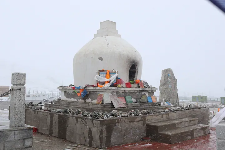
Photo adjustments
Full frame retained; proportionally resized and converted to WebP. No retouching or changes to the photographed subject. Card displays may crop the view.
Explore the region
About Kunlun Pass
Broad exposed terrain and distant peaks distinguish it from the lower spring and valley stops on the approach. The corridor also contains geological traces of the 2001 Kunlun earthquake. Treat the pass as part of a carefully arranged mountain-road journey, with brief designated stops and a clear return plan.
What to look for
- The road crossing opens onto a broad high-mountain landscape.
- The Kunlun corridor records the effects of major tectonic movement.
Location & getting there
Getting to Kunlun Pass
Arrange the journey from Golmud along the Qinghai–Tibet road and use designated stopping areas at the pass. Check current road and visitor restrictions before departure; surrounding protected land is not an invitation to leave the road.
Combine your visit
Choose from these complementary stops when planning your visit.
-
Nachitai spring stop纳赤台昆仑圣泉
Consider the lower roadside spring on the approach.
-
Designated pass stop昆仑山口指定停靠处
Take in the high-mountain setting.
-
Return along the booked corridor按既定公路返回
Continue according to the agreed transport plan.
This is a high-altitude road stop, not a casual city excursion. Confirm weather, road access and your transport arrangements before leaving Golmud.
Find Kunlun Pass
昆仑山口 · 海西州
The pin marks the area, not the entrance.
More places nearby
Approximate straight-line distances between map pins, not travel distances.
Sources & visit information
The sources below support the place-specific description and arrival information. Suggested combinations are editorial planning ideas; confirm current opening, entry arrangements and transport services for your date.