


Photo adjustments
EXIF orientation normalized; resized without changing aspect ratio; converted to WebP. No subject edits.
Explore the region
About Luoguqing Scenic Area
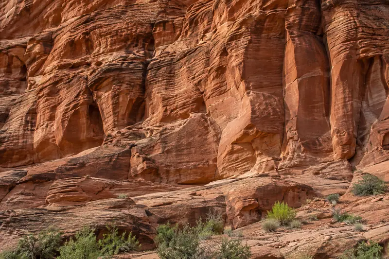
'Luoguqing' is Pumi for 'Jilijie', meaning 'red cliff precipice', named for the jagged, Danxia-red rock formations within the gorge. It lies within the Laojunshan scenic area, part of the 'Three Parallel Rivers' World Natural Heritage site, and is Lanping County's best-known scenic area as well as one of Yunnan's 48 provincial-level scenic areas. The Danxia landform was shaped in part by earlier glacial cutting action, which combined tortoiseshell-patterned rock with the area's red cliffs, set among primeval forest.
On the area's alpine meadow stand a pair of tall fir trees known locally as the 'lovers' trees', their trunks intertwined and canopies leaning into each other; during festivals, villagers from nearby settlements gather on the meadow beneath them to sing and dance, displaying Pumi culture.
What to look for
- The Danxia-red cliff formations that give Luoguqing its Pumi name
- The 'lovers' trees', a pair of intertwined firs on the alpine meadow, a gathering point for Pumi festivals
- The combination of tortoiseshell-patterned rock and Danxia cliffs shaped by earlier glacial action
Location & getting there
Getting to Luoguqing Scenic Area
Check weather, trail access and the last return service. A mountain or forest area is not one entrance, and a map’s central pin may be far from the trailhead.
- Search for 罗古箐 with 怒江傈僳族自治州 and 兰坪白族普米族自治县.
Find Luoguqing Scenic Area
罗古箐 · 兰坪白族普米族自治县
No reliable map pin yet: search by the Chinese name.
Sources & visit information
The linked sources support the identity and background described in this introduction. Opening hours, admission, activity availability and exact arrival arrangements have not been comprehensively checked. Confirm current visitor information with the venue; the original catalogue locality and editorial review flag are retained.