

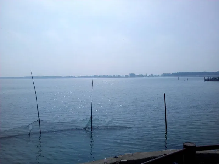
Photo adjustments
Full frame retained; proportionally resized and converted to WebP. No retouching or changes to the photographed subject. Card displays may crop the view.
Explore the region
About Dongping Lake
Dongping Lake (东平湖) is a freshwater lake in Dongping County (东平县), southwestern Shandong, where the waters of the Yellow River, the Dawen River (大汶河) and the Grand Canal meet.
The Dongping county government puts the lake's total area at 626 square kilometres, of which 208 are open water in a normal year, and ranks it as Shandong's second-largest freshwater lake. It works as a flood-storage basin: when the Yellow River rises, its water runs south into the lake, lowering the flood crest for the reaches downstream. The Xiaoqing River (小清河), the lake's only natural outlet, normally carries lake water north into the Yellow River. Dongping Lake is also a hub of the eastern route of the South-North Water Transfer Project (南水北调), which lifts Yangtze water in stages into the lake, some 40 metres higher, and then sends it through a tunnel under the Yellow River toward the North China Plain.
Taian's culture and tourism bureau traces the water through several names: Daye Marsh (大野泽) in early times, Juye Marsh (巨野泽) under the Qin and Han, and Liangshan Marsh (梁山泊) in the Song. The lake is the only surviving water of the marsh that the novel Water Margin (水浒传) describes. When the Yellow River broke its banks in 1000, under the Northern Song, the seat of Xucheng County (须城县) was shifted to today's Dongping; the ruins of the old city of Xuchang (须昌故城) lie under the lake and are protected at county level. The bureau also records a Sui-dynasty stone bridge, the Qingshui Bridge (清水石桥), dated to 601 and submerged in that same year. Since the Tang the lake has been called 'Little Dongting' (小洞庭).
Hills close in the lake on three sides. Oval Juyi Island (聚义岛) takes its name from the legend that Chao Gai (晁盖) and six other Water Margin chieftains met at its temple after seizing a birthday convoy. Only a bell frame, broken walls and stelae remain of that temple, and the island also holds the site of a pavilion built by the Tang prefect Su Yuanming (苏源明). The west shore has a stretch of the old Grand Canal, Lashan (腊山) National Forest Park and Yueyan Temple (月岩寺), built in 1579; the north shore has Northern Qi cliff sutras written by the monk An Daoyi (安道一) on Hongding Mountain (洪顶山). The lake yields carp, mandarin fish, softshell turtle and river shrimp, served locally as a whole-fish banquet (全鱼宴).
What to look for
- Juyi Island (聚义岛), tied to the Water Margin legend of Chao Gai, with the remains of its temple
- The site of the Huiyuan Pavilion (洄源亭) on Juyi Island, built by the Tang prefect Su Yuanming
- Liugongshan Water Margin Fortress (六工山水浒大寨), a Song-style hill and water stronghold beside the lake, one of the main filming locations of the 80-episode new Water Margin TV series
- Lashan National Forest Park (腊山国家森林公园) and the old Grand Canal channel on the west shore
- Yueyan Temple (月岩寺), built in 1579, on the west shore
- Northern Qi cliff sutras on Hongding Mountain (洪顶山摩崖刻经), written by the monk An Daoyi, on the north shore
- A whole-fish banquet (全鱼宴) of lake fish
Location & getting there
Getting to Dongping Lake
- Search for 东平湖 with 泰安市 and 东平县.
Find Dongping Lake
东平湖 · 东平县
No reliable map pin yet: search by the Chinese name.
Sources & visit information
Written from the linked sources and checked sentence by sentence against quoted extracts by a separate reviewer on 2026-09-23. Opening hours, admission and access arrangements are not covered; confirm current visitor information with the site.
Some facts checked against Wikipedia contributors, "东平湖" · CC BY-SA 4.0.