

Entry & permits for Tibet (Xizang)
Foreign tourists need Tibet entry approval, commonly called a Tibet Travel Permit, and an organised visit arranged through a specialist travel agency in China. Confirm your approved route before booking transport. Requirements differ for Taiwan residents and for travellers using mainland or Hong Kong/Macao Chinese resident documents; check the document guide before you book.
Check the travel-document requirements →Policy scope verified: 2026-09-06. UK FCDO: China regional travel advice ↗ State Council Taiwan Affairs Office: Tibet entry approval ↗ Xizang Department of Culture and Tourism: Medog border permit notice ↗

Explore the region
About Mount Kailash Kora Route
The county commentary makes the mountain the main peak of the Gangdise range, with the Karakoram to the north of it and the Himalaya to the south, so that Purang County is encircled by the two ranges and is named among the three regions of Ngari as the place ringed by snow mountains. It also makes Kailash the source of Ngari's four great rivers: the Shiquan flowing north past the Ngari seat and out of the country to the Indus, the Kongque flowing south through Purang County and out to the Ganges, the Maquan flowing east through Shigatse into the Yarlung Tsangpo, and the Xiangquan flowing west and out to the Sutlej. The Ngari Culture and Tourism Bureau's register of A-grade scenic areas lists 冈仁波齐-玛旁雍错 as a 4A scenic area covering Baga and Huoer townships in Purang County. The two government sources give different distances — the bureau has the mountain about 140 kilometres from the Purang county town and 270 kilometres from Shiquanhe, the commentary more than 100 kilometres from the county town and more than 200 kilometres from the Ngari seat — and neither is preferred here.
The kora is what brings most people. The county commentary records that countless Indian pilgrims and other visitors come each year to walk round the mountain, and that pilgrims and believers hold one circuit to wash away a year's sins and thirteen circuits a lifetime's, that a single circuit made in a Horse year, the year of Shakyamuni's nirvana, carries the merit of thirteen ordinary circuits, and that thirteen circuits in a Horse year guard against five hundred years of rebirth. Xinhua's 2025 report describes Kailash as known for its distinctive pyramid shape, with four glaciers extending symmetrically from the mountain body; it gives April to October as the best season for trekking there and puts the longest trekking route at about 52 kilometres in all, taking in snow mountains, grassland and river valleys, with blue sheep, marmots and pikas to be seen along the way.
Darchen International Tourism Town, in Baga town, is the starting point of that route; Baga means in Tibetan between the sacred mountain and the holy lake. At the square where the route starts, teams of yaks stand ready and visitors' luggage is loaded onto their backs, and many foreign visitors hire local herders to carry luggage by yak and to act as guides; the secretary of the Baga town party committee told Xinhua that tourism has become the leading industry of the town's economy and that about half of local residents' income comes from tourism-related work. At the foot of the mountain the county commentary singles out the Saixiong prayer-flag square, whose Tibetan name it translates as the great prayer flag of victory, and calls it the best viewing point for Kailash.
The catalogue calls this record an officially open kora route. No cited source designates one, describes its stages or waypoints, or states any permit or access rule; what the sources establish is the mountain, the meaning of the circuit to pilgrims, the season, the route's approximate length and where it begins. The county commentary also notes a peculiarity of the mountain: its sunlit face carries snow all year while its shaded face carries almost none, the reverse of the usual rule, which it explains by the steepness of the north side and by the moist Indian Ocean air reaching the gentler, windward south side.
What to look for
- The pyramid-shaped peak of Mount Kailash, 6,656 metres high, with four glaciers extending symmetrically from the mountain body
- The Saixiong prayer-flag square at the foot of the mountain, which the county commentary translates as the great prayer flag of victory and calls the best viewing point
- The starting square of the trekking route at Darchen, where yak teams are loaded with visitors' luggage
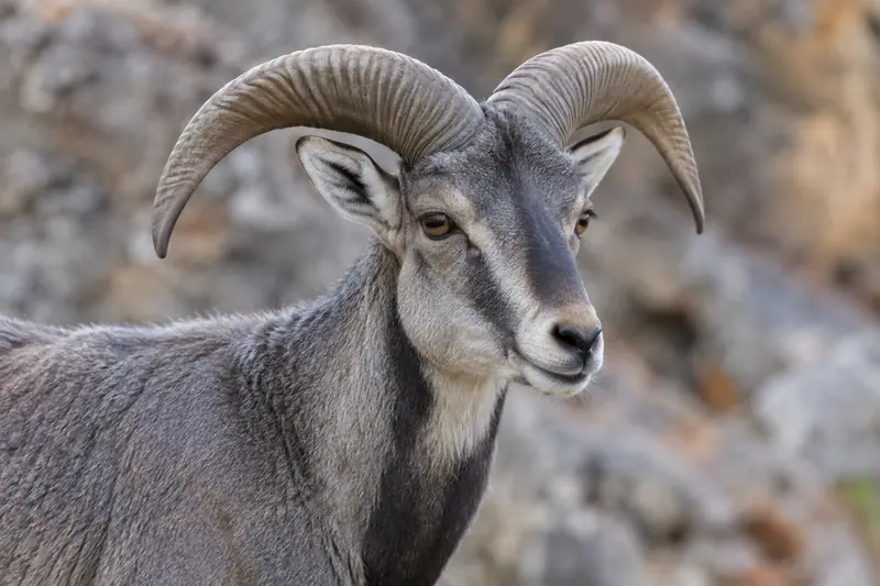
- The snow mountains, grassland and river valleys along the route, and the blue sheep, marmots and pikas Xinhua records there
- The mountain's reversed snow line, lying on the sunlit face all year while the shaded face carries almost none
Location & getting there
Getting to Mount Kailash Kora Route
Follow the currently permitted path and arrange the return before setting out. Do not infer trail continuity or difficulty from the route name alone.
- Search for 冈仁波齐正规开放转山线路 with 阿里地区 and 普兰县.
Find Mount Kailash Kora Route
冈仁波齐正规开放转山线路 · 普兰县
No reliable map pin yet: search by the Chinese name.
Sources & visit information
The linked sources support the identity and background described in this introduction. Opening hours, admission, activity availability and exact arrival arrangements have not been comprehensively checked. Confirm current visitor information with the venue; the original catalogue locality and editorial review flag are retained.