


Photo adjustments
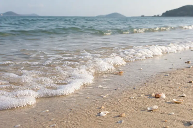
Full frame retained; proportionally resized and converted to WebP. No retouching or changes to the photographed subject. Card displays may crop the view.
Explore the region
About Shek O
The village streets, entrance arch and Tin Hau Temple provide a built setting behind the beach, while the rocky headland explains the place’s name, meaning rocky bay. The contrast with the island’s dense northern shore is immediately apparent.
Choose a village-and-beach circuit rather than treating every nearby coastal feature as one walk. Big Wave Bay and Cape D’Aguilar are separate destinations with their own approaches. At Shek O itself, follow the public beach access and current sea-condition signs before deciding whether to swim.
What to look for
- The sandy beach is framed by the rocky coastal setting.
- The village’s Tin Hau Temple and entrance arch add local architectural landmarks.
- The small street network gives a different perspective from the open beach.
Background & history
Shek O is an area of the south-eastern part of Hong Kong Island, in Hong Kong. It can refer to Shek O village, Shek O Peninsula or Shek O Headland. Administratively, they are part of Southern District.
Excerpt from Wikipedia: Shek O · Wikipedia contributors · CC BY-SA 4.0. Selected introductory sentences; formatting simplified. Background information, not current visitor-service advice.
Location & getting there
Getting to Shek O
Use the public road connection from Shau Kei Wan to Shek O, arriving at the village bus terminus. From there, the village lanes and public beach access form the local visit.
Combine your visit
Suggested order for the visit:
-
Village bus terminus and arch
Arrive at the village centre.
-
Tin Hau Temple and lanes
Observe the community setting.
-
Shek O Beach
Finish with the bay and rocky coastline.
This is an editorial sequence of named spaces or places. It does not imply a verified walking connection or promise opening, ticket availability or a journey time.
Find Shek O
石澳 · 南区
The pin marks the area, not the entrance.
More places nearby
Approximate straight-line distances between map pins, not travel distances.
Dragon's Back 龙脊
1 km awayDragon’s Back follows the ridge between Shek O Peak and Wan Cham Shan. Its changing crests reveal sea views on both sides, with green slopes falling towards the coast. The official longer route continues through the Pottinger…
View guide →Stanley 赤柱
4 km awayStanley offers three different settings close to the southern waterfront: the small lanes of its market, the open frontage of Main Street, and the colonnaded Murray House. Browse the market for crafts and clothing, then leave…
View guide →Hong Kong Museum of Coastal Defence 香港抗战及海防博物馆
6 km awayThe Hong Kong Museum of the War of Resistance and Coastal Defence occupies the former Lyemun Fort above the eastern harbour entrance. Galleries inside the redoubt connect coastal military structures with the wartime experience…
View guide →Sources & visit information
The sources below support the place-specific description and arrival information. Suggested combinations are editorial planning ideas; confirm current opening, entry arrangements and transport services for your date.
Visitor information adapted and edited from Wikipedia contributors, “Shek O” · CC BY-SA 4.0. Source revision 1316934999.
Visitor information adapted and edited from Wikivoyage contributors, Hong Kong/Southern District · CC BY-SA 4.0. Source revision 5237048.