


Explore the region
About East Taihang Scenic Area
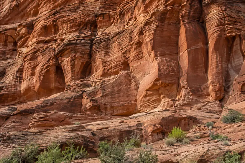
The name refers to its position on the eastern side of the Taihang range. Its highest ground reaches about 1,428 metres, and the red rock is broken into steep faces, narrow peaks and isolated formations. The changing profiles of these rocks give the mountain its distinctive skyline.
Modern visitor routes make the exposed cliff scenery central to the experience. The operator group's description records paths above 1,000 metres in elevation, including sections surfaced with glass. These constructed walkways provide the setting for views along the rock walls and across the surrounding ridges.
What to look for
- Red quartz-sandstone peaks and isolated rock formations
- The cliff-hugging high-level walkways
- Views across the surrounding Taihang ridges
Location & getting there
Getting to East Taihang Scenic Area
Check weather, trail access and the last return service. A mountain or forest area is not one entrance, and a map’s central pin may be far from the trailhead.
- Search for 东太行 with 邯郸市 and 武安市.
Find East Taihang Scenic Area
东太行 · 武安市
No reliable map pin yet: search by the Chinese name.
Sources & visit information
The linked sources support the identity and background described in this introduction. Opening hours, admission, activity availability and exact arrival arrangements have not been comprehensively checked. Confirm current visitor information with the venue; the original catalogue locality and editorial review flag are retained.
