

Photo adjustments
Full frame retained; EXIF orientation normalized, proportionally resized to at most 800 pixels and converted to WebP. No generated pixels or subject changes. Cards may crop the display.
Explore the region
About Wanxian Mountain Guoliang Village
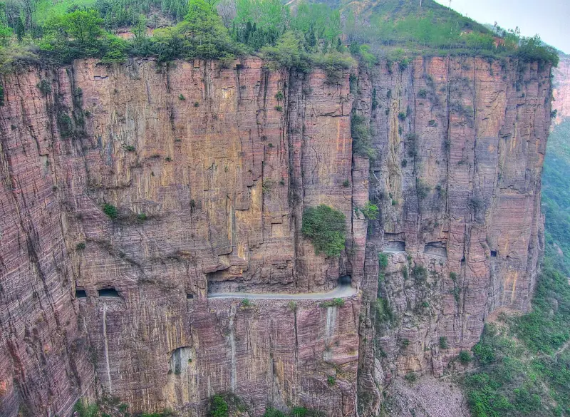
The village sits at an elevation of up to about 1,700 metres. Before the tunnel there were only three ways down: a natural scramble known as the monkey ladder, a path that detoured through Shanxi, and a 'sky ladder' more than a hundred metres high with 420 steps that narrowed to forty centimetres. In the 1970s villagers led by the former village party secretary Shen Mingxin cut a road through the cliff by hand, without machinery or electric lighting, working for 1,860 days. The passage was first called the Guoliang Cave or Guoliang Tunnel and is now generally known as the Cliff Corridor.
Guangming Daily gives the corridor's length as 1,250 metres, while the provincial government's account of the scenic area puts the Guoliang tunnel at 1,200 metres. More than thirty openings were cut along its outer wall so that spoil could be thrown out and air and light let in, and those openings now frame views over the mountains. Wanxian Shan as a whole covers 64 square kilometres in northwestern Huixian, rising to 1,672 metres, and Guoliang is one of its sections alongside Nanping and Luojiezhai. In the 1990s the director Xie Jin filmed 'The Bell of Qingliang Temple' in the village; more than sixty film and television productions have been shot there since.
What to look for
- The Cliff Corridor, the roadway cut by hand through the rock face in the 1970s
- The thirty-odd openings along the corridor's outer wall, made to clear spoil and admit light, which now serve as viewpoints over the gorge
- The stone fabric of the village itself: stone houses, stone lanes and the stone mills, querns, tables, benches, steps and terraces scattered through it
- The 'sky ladder', the old 420-step stair in the cliff that was one of the village's only routes down before the tunnel
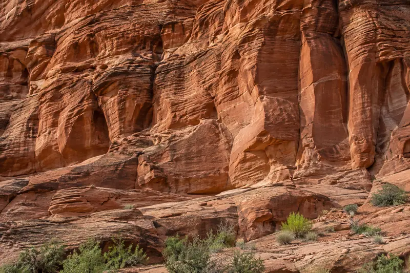
- The red rock cliffs of Wanxian Shan, which rise more than a hundred metres and enclose eight deep gorges
Location & getting there
Getting to Wanxian Mountain Guoliang Village
Identify the main visitor approach and any separately managed houses, museums or performances. Ask before entering residential spaces or photographing residents.
- Search for 万仙山郭亮村 with 新乡市 and 辉县市.
Find Wanxian Mountain Guoliang Village
万仙山郭亮村 · 辉县市
No reliable map pin yet: search by the Chinese name.
Sources & visit information
The linked sources support the identity and background described in this introduction. Opening hours, admission, activity availability and exact arrival arrangements have not been comprehensively checked. Confirm current visitor information with the venue; the original catalogue locality and editorial review flag are retained.