

Photo adjustments
Full frame retained; proportionally resized and converted to WebP. No retouching or changes to the photographed subject. Card displays may crop the view.
Explore the region
About Dajiuhu Wetland
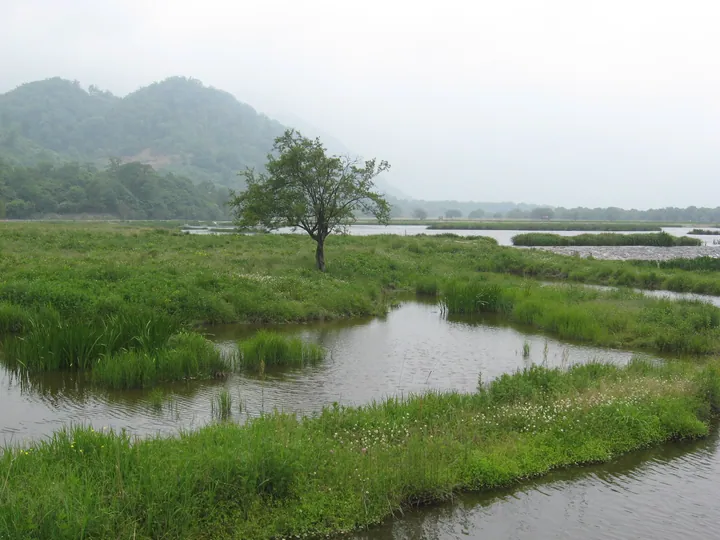
The basin is a flat plain lying among mountains. The district's tourism profile attributes it to a glacially dammed lake developed over an immense span of time, with a maze of underground sinkholes beneath it, so that the lakes and marshes on the surface grow and shrink through the year. It is one of the few typical subalpine wetlands in China, and the National Forestry and Grassland Administration describes it as a globally rare subtropical subalpine Sphagnum peat wetland lying within the area of the Shennongjia National Park and designated a Wetland of International Importance. The wetland types recorded here include subalpine meadow, Sphagnum bog, sedge marsh, sweet-flag marsh, red fescue marsh and bogbean marsh alongside channels and ponds, and the peat reaches 3.5 metres in thickness.
More than 20,000 mu of natural pasture occupies the basin floor. Rare plants and animals recorded in the wetland area include Picea neoveitchii, yew, the dove tree Davidia involucrata, Reeves's pheasant and forest musk deer, and the district identifies the area as a global biodiversity hotspot. Dajiuhu lies on the routes between Zhushan in Shiyan to the north-west and Wushan in Chongqing to the south, and it was historically the first staging post inside Shennongjia on the old salt road between Sichuan and Hubei.
What to look for
- The peat bog itself, where Sphagnum layers reach 3.5 metres thick
- The open natural pasture on the basin floor, covering more than 20,000 mu
- The lakes that fill and shrink with the rains and give the wetland its name
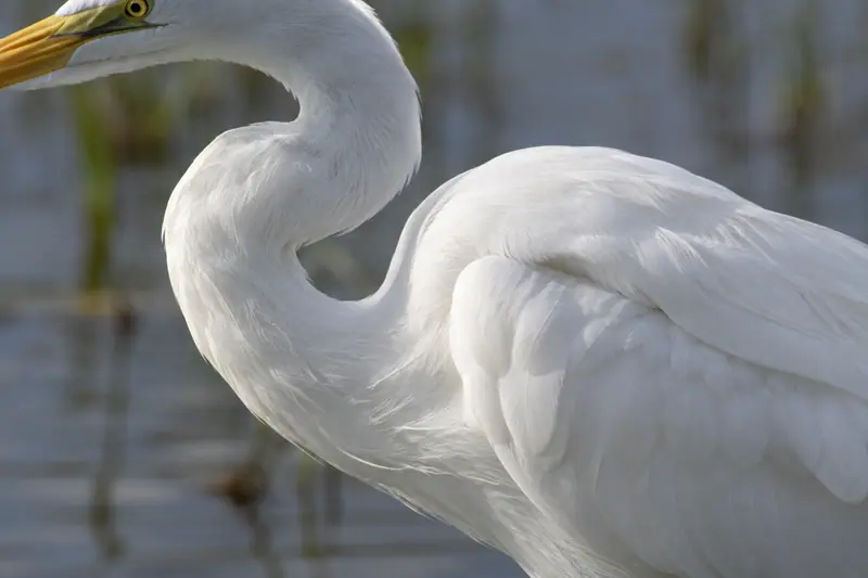
- Waterbirds such as egrets, which gather over the marshes in the summer months
- Rare trees recorded in the wetland area, among them the dove tree and Picea neoveitchii
Location & getting there
Getting to Dajiuhu Wetland
Check the open visitor route and follow the site’s rules on distance, food and photography. Conservation areas may limit access beyond designated paths.
- Search for 大九湖 with 神农架林区 and 林区.
Find Dajiuhu Wetland
大九湖 · 林区
No reliable map pin yet: search by the Chinese name.
Sources & visit information
The linked sources support the identity and background described in this introduction. Opening hours, admission, activity availability and exact arrival arrangements have not been comprehensively checked. Confirm current visitor information with the venue; the original catalogue locality and editorial review flag are retained.