

Explore the region
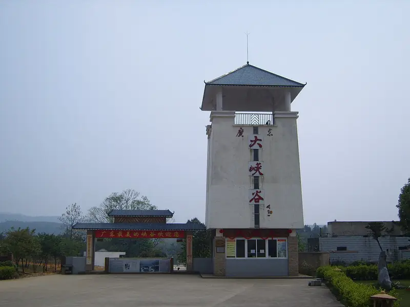
About Guangdong Grand Canyon
The gorge drops more than 300 metres below the surrounding surface and runs for about 15 kilometres, its floor cut into ravines. The largest fall in it is Tenglong Waterfall, which drops more than 200 metres to the valley bottom. The reserve's geological interest lies in both its basic geology, with exposed stratigraphic sections and faults, and its landforms: the canyon itself, planation surfaces above it, rock peaks and pillars, waterfalls, plunge pools and potholes. In 2005 a Guangdong public survey named it the most beautiful canyon in the province.
The damp, shaded valley supports plants that are scarce elsewhere in the province. Stands of tree ferns, survivors of a lineage older than the flowering plants, grow in the gorge alongside wild banana, South China rattan and Brainea insignis, with the nationally protected Ormosia henryi scattered through the woods. Cabot's tragopan, a pheasant given the highest level of national protection, lives in the evergreen broadleaf forest, and the Chinese serow moves along the cliff faces. Protection here began as a county-level reserve in 1998 and was later raised to provincial status. The Xijing ancient road, one of the old routes over the Nanling, runs into the reserve.
What to look for
- The canyon walls themselves, cut more than 300 metres deep along a 15-kilometre course
- Tenglong Waterfall, a fall of more than 200 metres into the valley floor
- Stands of tree ferns in the damp valley bottom, with wild banana and South China rattan
- Geological features recorded in the reserve: exposed strata and faults, rock peaks and pillars, plunge pools and potholes
- The section of the Xijing ancient road that leads into the reserve
Location & getting there
Getting to Guangdong Grand Canyon
Confirm the visitor entrance and which boat or walking routes operate on your date. Rainfall, water levels and weather can change access.
- Search for 广东大峡谷 with 韶关市 and 乳源瑶族自治县.

Find Guangdong Grand Canyon
广东大峡谷 · 乳源瑶族自治县
No reliable map pin yet: search by the Chinese name.
Sources & visit information
The linked sources support the identity and background described in this introduction. Opening hours, admission, activity availability and exact arrival arrangements have not been comprehensively checked. Confirm current visitor information with the venue; the original catalogue locality and editorial review flag are retained.
Image credits & notes (1)
- Guangdong Grand Canyon · 广东大峡谷Photo: commons.wikimedia.orgResized for the web; the photo itself has not been edited.
