

Photo adjustments
Full frame retained; proportionally resized and converted to WebP. No retouching or changes to the photographed subject. Card displays may crop the view.
Explore the region
About Wusute Water Yardang Geopark
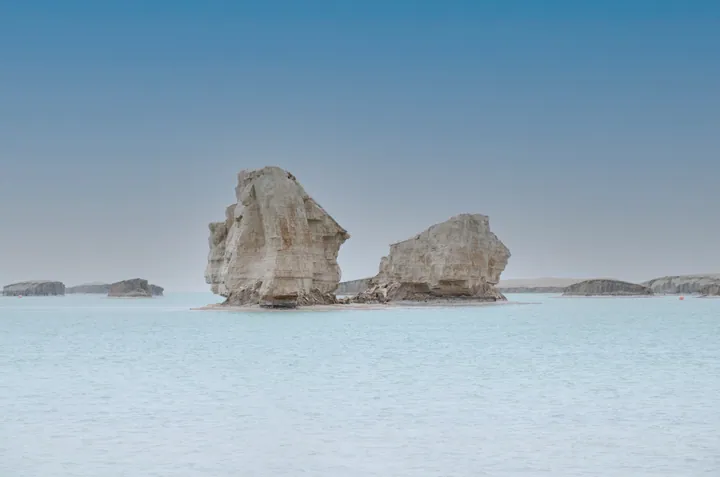
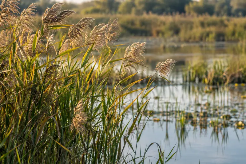
The scenic area's own website describes the geopark as made up of Yadan landform and the surface of Ya Lake, whose water it says rises in the Nalinggele river valley in the western Kunlun. It says reeds and a few other water plants grow at the lake edge, that the water holds the area's own Yadan fish and plateau crab, and that in summer and autumn wild ducks gather there in their thousands, so that outdoor and independent travellers call the place the 'lake of a hundred birds and a thousand islands'. The same page explains the Yadan landforms of Qaidam as lake sediments of the late Tertiary and early Quaternary that geological movement raised out of the water and wind erosion then sculpted, and it calls those of the north-west Qaidam, including the Nanbaxian and Yiliping stretches, among the largest and most typical Yadan landscapes in the world.
The geopark's own site names Da Qaidam Modern Tourism Investment and Development Co., Ltd (大柴旦现代旅游投资开发有限责任公司) as both the copyright holder and the body running the site. A China News Service report of 28 June 2026 records the Haixi prefecture culture, sport, tourism, radio and television bureau listing Wusute (water-borne) Yadan among Da Qaidam's core scenic spots in its announcement of that date. Neither cited page describes the individual Yadan formations inside the geopark, gives it a designation, or states how much of it a visitor can enter.
What to look for
- The Yadan ridges standing in the water of Ya Lake, which the geopark's own site says make it up together with the lake surface
- The Yadan fish and plateau crab the site says live in the lake water
- The reeds at the lake edge and the wild ducks that the site says gather there in their thousands in summer and autumn
- The Yadan landform itself, which the site describes as Tertiary and Quaternary lake sediments raised by geological movement and sculpted by wind erosion
Location & getting there
Getting to Wusute Water Yardang Geopark
Use an authorised visitor route. Cave sections, geological sites and access roads can close independently, so confirm the area that your ticket covers.
- Search for 乌素特水上雅丹 with 海西蒙古族藏族自治州 and 大柴旦行政委员会辖区.
Find Wusute Water Yardang Geopark
乌素特水上雅丹 · 大柴旦行政委员会辖区
No reliable map pin yet: search by the Chinese name.
Sources & visit information
The linked sources support the identity and background described in this introduction. Opening hours, admission, activity availability and exact arrival arrangements have not been comprehensively checked. Confirm current visitor information with the venue; the original catalogue locality and editorial review flag are retained.