

Explore the region
About Yunji Mountain
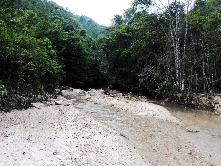
The name is descriptive. Local Hakka people call the mountain Yapo Ji, 'grandmother's hairknot', because the main peak resembles a coiled bun; the formal name Yunji, 'cloud knot', comes from the peak's habit of appearing and vanishing in cloud. Within the reserve are steep slopes, dense forest, waterfalls, rock scenery and mountain hot springs, and the peak is described as the highest summit in the Pearl River Delta region. The mountain's altitudinal range gives it distinct seasons, from mountain flowers in spring to snow and ice in winter.
Its best-known feature is its maples. Yunji Shan carries the largest stand of native trident maple in Lingnan, a tree that can exceed twenty metres with a broad crown, and because the colour change runs with altitude the slopes show red, yellow and green in bands rather than turning all at once. At the head of the Xinfeng River a three-tier waterfall with a drop of 128 metres is named Liuyun Feipu. Beside the Siyuan Pavilion stands a stele recording the source of the Xinfeng River and the local effort to protect it, a reminder that this hillside is a working water catchment as much as a viewpoint. The scenic area has been rated at national AAA grade. When the maples turn varies from year to year and no particular display can be promised.
What to look for
- The 1,438.8-metre main peak, source of the Xinfeng River
- The native trident maple stands, the largest in Lingnan, whose colour changes in bands with altitude
- Liuyun Feipu, the three-tier waterfall at the river's head with a 128-metre drop
- The Siyuan Pavilion and the stele beside it recording the river's source
- The mountain hot springs and rock scenery within the reserve
Location & getting there
Getting to Yunji Mountain
Check weather, trail access and the last return service. A mountain or forest area is not one entrance, and a map’s central pin may be far from the trailhead.
- Search for 云髻山 with 韶关市 and 新丰县.

Find Yunji Mountain
云髻山 · 新丰县
No reliable map pin yet: search by the Chinese name.
Sources & visit information
The linked sources support the identity and background described in this introduction. Opening hours, admission, activity availability and exact arrival arrangements have not been comprehensively checked. Confirm current visitor information with the venue; the original catalogue locality and editorial review flag are retained.
