


Explore the region
About Tianqiaogou Valley
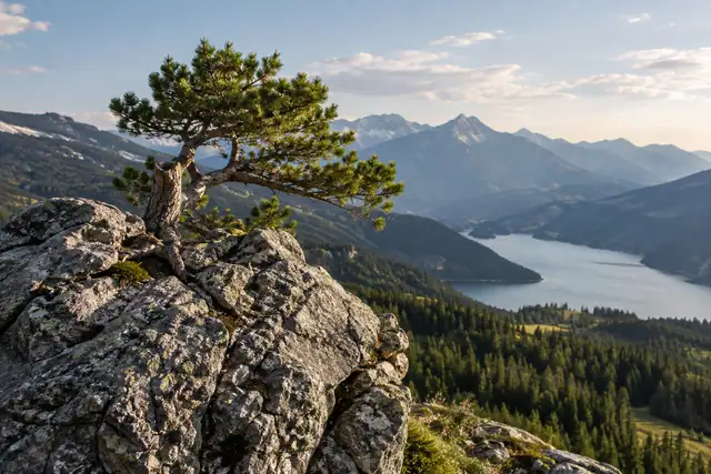
The area lies in the Laoling branch of the Changbai mountains, close to the boundaries with Benxi and Huanren counties. Rocky peaks, streams and wooded slopes form its landscape, with maple colour a prominent autumn feature.
The mountains also sheltered guerrilla camps associated with Yang Jingyu in the 1930s. Surviving stone-wall fragments mark former hidden camps, while the lookout-post site below Yingzuilazi shows how the terrain gave fighters a view across the valley. A statue of Yang Jingyu forms part of the area's commemoration.
What to look for
- The forested peaks and maple-covered mountain slopes.
- The lookout-post site below Yingzuilazi.
- Stone remnants of the former hidden camps and the Yang Jingyu memorial statue.
Location & getting there
Getting to Tianqiaogou Valley
Check weather, trail access and the last return service. A mountain or forest area is not one entrance, and a map’s central pin may be far from the trailhead.
- Search for 天桥沟 with 丹东市 and 宽甸满族自治县.
Find Tianqiaogou Valley
天桥沟 · 宽甸满族自治县
No reliable map pin yet: search by the Chinese name.
Sources & visit information
The linked sources support the identity and background described in this introduction. Opening hours, admission, activity availability and exact arrival arrangements have not been comprehensively checked. Confirm current visitor information with the venue; the original catalogue locality and editorial review flag are retained.