


Get to know Zhongning County
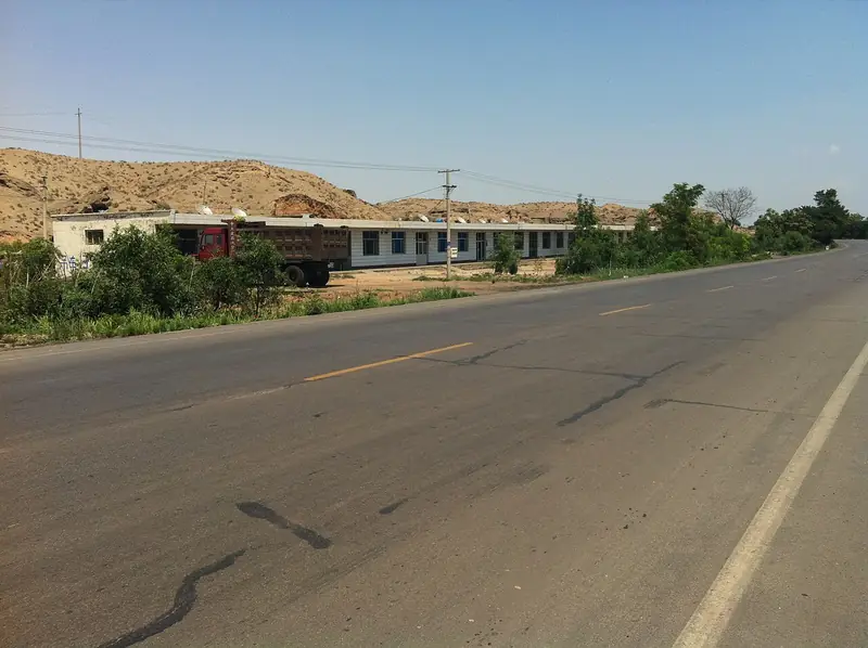
Photo adjustments
Full frame retained; EXIF orientation normalized, proportionally resized to at most 800 pixels and converted to WebP. No generated pixels or subject changes. Cards may crop the display.
- Administrative area
- County · 县
- Part of
- Zhongwei
- Chinese name
- 中宁县
- Local areas
- County guide
Area & population
- Administrative seat
- Ning'an
Source: cited geographic source, as of the dates shown.
Setting and landscape
According to the county, the Yellow River runs for 68 kilometres through Zhongning, and its tributary the Qingshui River (清水河) enters at the upper end of the county. The county sits on an alluvial fan plain of the Yellow River, flat and deep-soiled, with a dry climate of about 200 millimetres of rain a year. Most goji fields are watered with a mix of Yellow River and Qingshui River water, which is slightly alkaline, a condition the county says suits the plant.
What to see
The Shuanglongshan Grottoes (双龙山石窟) in Yuding township (余丁乡), recorded in old records as Shikong Temple (石空寺), were cut in the Tang dynasty; these records say the temple was founded in the Tang and its statues follow Tang style. There are 13 caves. The largest, a beamless hall 25 metres high, 15 metres deep and 13 metres wide, holds 88 Buddha figures, with painted murals beside the niches that the county compares with Tang murals at Dunhuang (敦煌). A three-storey building stands against the cliff outside. Ming Great Wall remains and beacon towers run along the hilltop above, the Tengger Desert (腾格里沙漠) lies to the north and the Yellow River flows to the south. The Ningxia government listed the site for protection in 1961.
Also in Yuding, the Huangyang old village (黄羊古村落) is one of the county's best-preserved traditional villages, with jujube trees several centuries old; the county's plan gives its eastern part to restoring the old courtyards and its western part to visitor facilities.
Food and local products
Locals call goji 'ci' (茨), a goji orchard a 'ci yuan' (茨园) and its growers 'ci nong' (茨农). Guangming Daily dates goji cultivation here to more than 1,000 years. Xinhua reports that the berries were sent to the imperial court as tribute from the Chenghua (成化) reign of the Ming dynasty, that the State Council made Zhongning the country's only goji production base county in 1961, and that 'Zhongning goji' (中宁枸杞) was registered as a geographical-indication trademark in 2001. Growers single out Shangqiao village (上桥村) in Zhoutai township (舟塔乡), on land laid down by the Qingshui River, for the best fruit; the county now also makes goji wine, juice and snacks.
Highlights
- Shikong Temple (Shuanglongshan) Grottoes 石空寺: Tang-dynasty caves with 88 Buddha figures in a 25-metre beamless hall; protected by Ningxia since 1961.
- Zhongning goji 中宁枸杞: Imperial tribute from the Ming Chenghua reign; geographical-indication trademark since 2001.
- Huangyang old village 黄羊古村落: Well-preserved traditional village with centuries-old jujube trees.
Sources for this guide
中宁县 - 维基百科,自由的百科全书 · Chinese Wikipedia · CC BY-SA 4.0
“中国枸杞之乡”中宁县:持续擦亮“中宁枸杞”金字招牌-新华网 · Xinhua
中宁县余丁乡双龙山石窟_中宁县人民政府 · Zhongning County People's Government
余丁乡黄羊古村落_中宁县人民政府 · Zhongning County People's Government
宁夏中宁枸杞的千年古今 _光明日报 _光明网 · Guangming Daily
Original English written from the listed sources and checked sentence by sentence against quoted extracts by a separate reviewer. Updated 2026-09-26.
Explore Zhongning County
Core places to explore, with English and Chinese names.
Places to explore around Zhongning County
 Shikong Temple Grottoes ·
 Plan your visit
Getting there
Zhongning County is about 45 km in a straight line from central Zhongwei. Search for 中宁县 in a map app to find stations and your accommodation.
Where to stay →Build your route
Start with Shikong Temple Grottoes. The linked place guides have entrance and visit details.
Continue with Zhongwei →More in Zhongwei
Sources & geographic information
Administrative names and parent areas: Official geographic directory · Reference date 2026-09-06.
Some facts checked against 中宁县 — Wikipedia contributors, CC BY-SA 4.0.
Photo: Shikong Temple Grottoes · Source photographer · License not provided. EXIF orientation normalized; resized without changing aspect ratio; converted to WebP. No subject edits.
Map data © OpenStreetMap contributors. Pins mark approximate centres, not entrances or boundaries.