

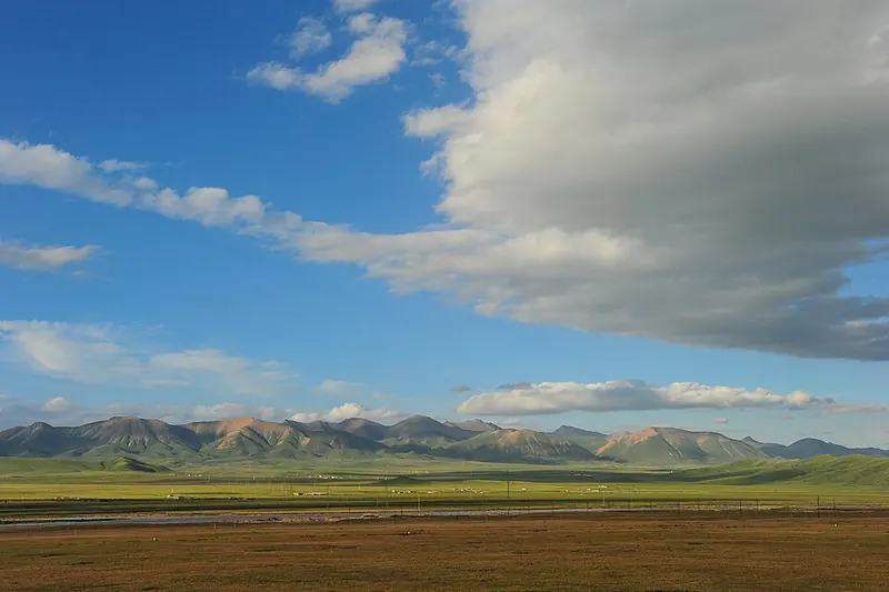
Photo adjustments
Full frame retained; proportionally resized and converted to WebP. No retouching or changes to the photographed subject. Card displays may crop the view.
Explore the region
About Qilian County
Zhuoer Mountain gives an elevated view of the valley, while Arou Monastery adds a cultural stop along the eastern road approach. The county covers a much larger area than these attractions. Plan individual road stages and overnight stops rather than treating the whole county as a single walkable scenic area.
What to look for
- Babao provides a base in the mountain valley.
- Zhuoer Mountain and Arou Monastery offer contrasting landscape and cultural visits.
Background & history
Qilian County (Chinese: 祁连县, Tibetan: མདོ་ལ་རྫོང་།, Tibetan pronunciation: [to˩˨ la˥˥], Amdo Tibetan pronunciation: [mdo læ]), in Tibetan Dhola County, is a county of Haibei Tibetan Autonomous Prefecture, Qinghai Province, China. The Haibei Qilian Airport is located in the county.
Excerpt from Wikipedia: Qilian County · Wikipedia contributors · CC BY-SA 4.0. Selected introductory sentences; formatting simplified. Background information, not current visitor-service advice.
Location & getting there
Getting to Qilian County
Select accommodation or the bus arrival point in Babao town, then arrange the onward journey to individual attractions. The county map pin is a regional reference and should not be used as the address of a hotel or scenic entrance.
Combine your visit
Choose from these complementary stops when planning your visit.
-
Babao town八宝镇
Use the county seat for accommodation and road arrangements.
-
Zhuoer Mountain卓尔山
Choose a weather-appropriate landscape visit.
-
Arou Monastery阿柔大寺
Add the monastery when travelling along the eastern road corridor.
This is a suggested combination, not a timed route; confirm the opening and transport arrangements for your date.
Find Qilian County
祁连 · 海北州
The pin marks the area, not the entrance.
More places nearby
Approximate straight-line distances between map pins, not travel distances.
Qilian Mountains · Zhuoer Mountain 祁连山·卓尔山
45 km awayThis map entry identifies Zhuoer Mountain above Babao, one visitor area within the much wider Qilian Mountains. Its red rock and grassy slopes overlook the Babao River valley, with Ami Dongsuo, also called Niuxin Mountain…
View guide →Arou Monastery 阿柔大寺
61 km awayArou Monastery sits in grassland country east of Babao. The Gelug monastery’s assembly hall, row of stupas and prayer-wheel corridor form a compact cultural stop on a Qilian road journey. Its courtyards combine Tibetan religious…
View guide →Qinghai Lake · regional lake reference 青海湖·全湖区域示意点
132 km awayQinghai Lake is a large saline lake in a closed basin on the northeastern plateau. Its broad water surface, surrounding grasslands and mountain horizon create a landscape experienced differently from each shore. The regional map…
View guide →Sources & visit information
The sources below support the place-specific description and arrival information. Suggested combinations are editorial planning ideas; confirm current opening, entry arrangements and transport services for your date.
- Trip.com: Arou Monastery on the Babao–Menyuan approach ↗
- Qilian County — Wikipedia geographic and historical reference ↗
Geographic and historical facts selectively adapted from Wikipedia contributors, Qilian County · CC BY-SA 4.0. Source revision 1367541238.