


Photo adjustments
EXIF orientation normalized; resized without changing aspect ratio; converted to WebP. No subject edits.
Explore the region
About Jiangbulake Scenic Area
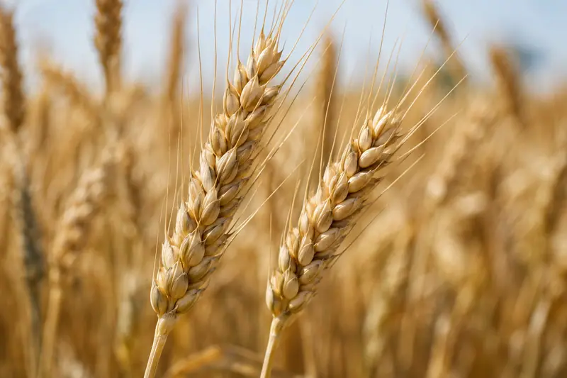
The area covers 48 square kilometres. The regional culture and tourism department describes it as a combination of typical temperate-arid mountain vertical landscape with a distinctive mountain-wheatfield pattern, and as a continuing landscape of the Xinjiang Tianshan World Natural Heritage site.
Its named principal sights include the Tianshan Wheat Sea (天山麦海), the Shule ancient city site known as Shichengzi (疏勒古城/石城子遗址), Magouliang village, the Tianshan Strange Slope (天山怪坡), Huahaizi (花海子), the Jiangbulake Grand Canyon, Duanqiao, Sandaobianzi and the Xinhu River.
A 2018 report describes the scenery as distant mountains and water in counterpoint, forest meeting snow peaks, and flower fields, and its manager describes the scenic area as also a national forest park.
What to look for
- The Tianshan Wheat Sea (天山麦海), named first among the principal sights
- The Tianshan Strange Slope (天山怪坡)
- The Shule ancient city site, known as Shichengzi (石城子遗址)
- Huahaizi (花海子) and the Jiangbulake Grand Canyon
Location & getting there
Getting to Jiangbulake Scenic Area
Confirm the road and activity operator, weather and return transport. Stay on permitted routes and do not treat open land as unrestricted access.
- Search for 江布拉克 with 昌吉回族自治州 and 奇台县.
Find Jiangbulake Scenic Area
江布拉克 · 奇台县
No reliable map pin yet: search by the Chinese name.
Sources & visit information
The linked sources support the identity and background described in this introduction. Opening hours, admission, activity availability and exact arrival arrangements have not been comprehensively checked. Confirm current visitor information with the venue; the original catalogue locality and editorial review flag are retained.