

Explore the region
About Kuokesu Grand Canyon
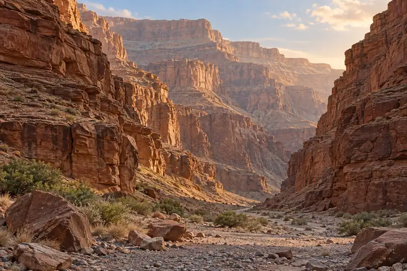
China Daily records that the canyon was cut by the Kuoksu river — fed by Tianshan meltwater — eroding down through sedimentary rock laid down hundreds of millions of years ago after the crust was uplifted, and that it takes the form of a typical V-shaped valley reaching a maximum depth of 360 m. It records steep rock walls on both sides, with Hukou waterfall, Crocodile Bay and Jiuqu Shiba Wan among the natural features, and water in the valley bottom that appears milky white or emerald green according to its mineral content. It records a clear vertical sequence of vegetation, from snow-ridge spruce and birch at the valley floor to meadow above, with more than 90 per cent cover, and records that the river meanders at the bottom of the valley.
The county page places the Kuoksu Grand Canyon within the Kalajun international eco-tourism area, listing it among the zones that make up the area, and records that the Kuoksu canyon zone and the Kalajun grassland zone are the two the county has developed. It records that visitors enter the Kuoksu canyon zone from the visitor service centre and pass, in order, such viewpoints as Kalajun Lake, the Kuoksu Grand Canyon, Crocodile Bay and the Jiuqu Shiba Wan–human-body grassland (人体草原), and that the zone is linked to the Kalajun grassland zone by a reciprocating cable car forming a touring loop.
What to look for
- The V-shaped gorge itself — China Daily records a maximum depth of 360 m, with steep rock walls on both sides.
- Hukou waterfall, Crocodile Bay and Jiuqu Shiba Wan, which China Daily names among the canyon's natural features.
- The water in the valley bottom, which China Daily records as appearing milky white or emerald green according to its mineral content.
- The vertical vegetation sequence, from snow-ridge spruce and birch at the floor to meadow above, with more than 90 per cent cover.
- The viewpoints the county page lists in the Kuoksu canyon zone, among them Kalajun Lake, the Kuoksu Grand Canyon, Crocodile Bay and the Jiuqu Shiba Wan–human-body grassland (人体草原).
- The river meander at the valley floor, which China Daily records as a bend formed by the Kuoksu river looping through the bottom of the gorge.
Location & getting there
Getting to Kuokesu Grand Canyon
Confirm the visitor entrance and which boat or walking routes operate on your date. Rainfall, water levels and weather can change access.
- Search for 阔克苏大峡谷 with 伊犁哈萨克自治州 and 特克斯县.

Find Kuokesu Grand Canyon
阔克苏大峡谷 · 特克斯县
No reliable map pin yet: search by the Chinese name.
Sources & visit information
The linked sources support the identity and background described in this introduction. Opening hours, admission, activity availability and exact arrival arrangements have not been comprehensively checked. Confirm current visitor information with the venue; the original catalogue locality and editorial review flag are retained.