


Get to know Ninglang Yi Autonomous County
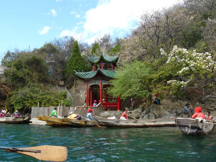
Photo adjustments
Full frame retained; proportionally resized and converted to WebP. No retouching or changes to the photographed subject. Card displays may crop the view.
- Administrative area
- Autonomous county · 自治县
- Part of
- Lijiang
- Chinese name
- 宁蒗彝族自治县
- Local areas
- Autonomous county guide
Area & population
- Area in the source
- 6,206.00 km²
- Population · 2020 census
- 244,525
- Administrative seat
- Daxing
Source: cited geographic source, as of the dates shown.
Lake and mountain scenery
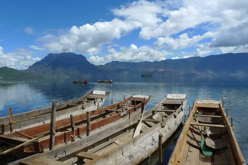
Lugu Lake stands at about 2,690 metres above sea level. At the foot of Gemu Goddess Mountain (格姆女神山), Dahaizi Wetland (大海子湿地) adds another waterside landscape. The lake’s traditional zhucao boats (猪槽船) are dugout canoes made by hollowing a thick log and tapering both ends. They have been used to carry people and for fishing.
Zhamei Temple
At Yongning, Zhamei Temple (扎美寺) has religious murals on the walls beside its main-hall entrance and prayer wheels in front of them. Figures inside include Tsongkhapa (宗喀巴) and the local Gemu goddess, bringing the mountain deity into the same sacred space as Tibetan Buddhist figures.
Sources for this guide
CCTV-旅游频道-旅游频道 · CCTV, republished from Southern Metropolis Daily; text and photographs by Zheng Zhibo
丽江泸沽湖:山水人文浑然天成 · Yunnan Daily / Yunnan Provincial Publicity Department
Original English written from the listed sources and checked sentence by sentence against quoted extracts by a separate reviewer. Updated 2026-09-27.
Explore Ninglang Yi Autonomous County
Core places to explore, with English and Chinese names.
Places to explore around Ninglang Yi Autonomous County
 Lugu Lake Yunnan Side ·
 Plan your visit
Getting there
Ninglang Yi Autonomous County is about 80 km in a straight line from central Lijiang. Search for 宁蒗彝族自治县 in a map app to find stations and your accommodation.
Where to stay →Build your route
Start with Lugu Lake Yunnan Side. The linked place guides have entrance and visit details.
Continue with Lijiang →More in Lijiang
Sources & geographic information
Administrative names and parent areas: Official geographic directory · Reference date 2026-09-06.
Photo: Lugu Lake Yunnan Side · Source photographer · License not provided. EXIF orientation normalized; resized without changing aspect ratio; converted to WebP. No subject edits.
Map data © OpenStreetMap contributors. Pins mark approximate centres, not entrances or boundaries.