

Photo adjustments
The exact downloaded source bytes are separately retained and hashed. Prepared JPEG is proportionally reduced to a maximum 720-pixel long edge; full frame retained, no subject alteration. Final website rendition: full frame retained, proportionally resized to at most 720 pixels and converted to WebP. No additional retouching or subject alteration. Card displays may crop the view.
Explore the region
About Sanyang Wetlands
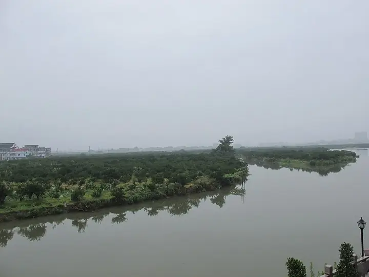
Ougan citrus groves connect the wetland with local farming, while old banyan trees, pavilions and landings mark former island communities. The restored gateways and wells add a human scale to the ecological setting. Follow the public waterside paths and bridge connections, choosing a limited loop rather than assuming every island is connected by a continuous walking route.
What to look for
- Ougan groves preserve the wetland’s distinctive cultivated landscape.
- Banyan trees, pavilions, old wells and landings reveal the former settlement pattern.
The surrounding area
Southern Zhejiang's distinct urban and commercial life, well beyond a short Hangzhou detour.
Location & getting there
Getting to Sanyang Wetlands
Use Sanyang Wetland station on Wenzhou Rail Transit Line S1 for the northern approach on Ouhai Avenue. The western entrance is approached separately from Wenrui Avenue.
Combine your visit
A suggested sequence linking the specific features of this visit.
-
Northern waterside paths
Begin with the channels and island arrangement.
-
Banyan and pavilion setting
Look for the landmarks of former waterside communities.
-
Ougan-grove views
Compare the settlement remains with the cultivated landscape from public paths.
This order is editorial. Confirm access and any transfers between stops; it does not establish a walking route, same-day connection or common admission ticket.

Find Sanyang Wetlands
三垟湿地 · 温州市
The pin marks the area, not the entrance.
More places nearby
Approximate straight-line distances between map pins, not travel distances.
Wenzhou Museum 温州博物馆
3 km awayWenzhou Museum introduces the Ou region through archaeology, art and natural history. The entrance’s stone-carved banyan tree and the central hall’s mythological bronze reliefs establish a strong visual opening. Collection…
View guide →Wuma Street 五马街
6 km awayWuma Street is the commercial spine of Wenzhou’s old centre, connecting Jiefang South Road with Chanjie. The bronze Five Horses sculpture gives the street’s name a visible marker, while older shop fronts and adjoining lanes…
View guide →Nanxi River (Zhejiang) 楠溪江
8 km awayThe middle Nanxi valley pairs river scenery with villages built around water and local lineage life. Furong preserves Ming-and-Qing-period residences within a layout associated with the seven stars and eight dipper ponds, while…
View guide →Sources & visit information
The sources below support the place-specific description and arrival information. Suggested combinations are editorial planning ideas; confirm current opening, entry arrangements and transport services for your date.
Visitor information adapted and edited from Wikivoyage contributors, listing “Sanyang Wetlands” · CC BY-SA 4.0.