

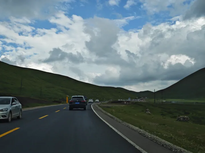
Photo adjustments
Full frame retained; proportionally resized and converted to WebP. No retouching or changes to the photographed subject. Card displays may crop the view.
Explore the region
About Sangke Grassland
The county government's page records that the grassland is reached by travelling 13 km west along the Daxia river from Labrang, and that Sangke is meadow grassland (草甸草原) at an average elevation above 3,000 m with a pasture area of 70 square kilometres. It says the grassland was known across the north-west Tibetan region both for the quality of its pasture and for the large Tibetan Buddhist ceremonies historically held there.
The same page describes summer on the grassland as green grass and competing wild flowers spreading out like a natural carpet to the horizon, with the Daxia river winding through and the sky and clouds reflected on its water; it adds a pastoral scene of cooking smoke, scattered cattle and sheep, tents and songs from horseback. Xinhua's photo feature of 11 July 2025 places the grassland in Xiahe county at the same average elevation above 3,000 m and says it enters its best season of the year in summer, and among the photographs it published are a rapeseed flower field and the Tianjing camp, both taken on the grassland on 10 July 2025.
What to look for
- The Daxia river winding across the grassland, which the county page describes with the sky and clouds reflected on its water
- The meadow grassland itself, which the page describes as green with wild flowers in summer and spreading out like a natural carpet
- The pastoral scene the county page records of cooking smoke, scattered cattle and sheep, tents and songs from horseback
- The rapeseed flower field that Xinhua photographed on the grassland in July 2025
- The Tianjing camp (天境营地), photographed on the grassland in July 2025 and published in the same Xinhua feature
Location & getting there
Getting to Sangke Grassland
Confirm the road and activity operator, weather and return transport. Stay on permitted routes and do not treat open land as unrestricted access.
- Search for 桑科草原 with 甘南藏族自治州 and 夏河县.

Find Sangke Grassland
桑科草原 · 夏河县
No reliable map pin yet: search by the Chinese name.
Sources & visit information
The linked sources support the identity and background described in this introduction. Opening hours, admission, activity availability and exact arrival arrangements have not been comprehensively checked. Confirm current visitor information with the venue; the original catalogue locality and editorial review flag are retained.