


Get to know Luhe County
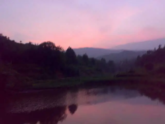
Photo adjustments
Full frame retained; EXIF orientation normalized, proportionally resized to at most 800 pixels and converted to WebP. No generated pixels or subject changes. Cards may crop the display.
- Administrative area
- County · 县
- Part of
- Shanwei
- Chinese name
- 陆河县
- Local areas
- County guide
Area & population
- Area in the source
- 986.00 km²
- Population · 2020
- 249,242
Source: cited geographic source, as of the dates shown.
Setting and landscape
The county holds the headwaters of the Rong River (榕江) and Luo River (螺河) systems, and forest covers 73.04% of it. The Nanwan Hongzhui Forest Provincial Nature Reserve (陆河南万红锥林省级自然保护区), created in 2001 in Nanwan town (南万镇), lies on the southern slopes of the Lianhua Mountains (莲花山) in the upper Luo valley, between 290 and 866 metres. The county government describes it as protecting China's largest and most concentrated stand of hongzhui (红锥), a valuable native broadleaf tree, and its forest scene, "Nanwan zhui tao" (南万锥涛, "Nanwan hongzhui waves"), is one of the Eight Views of Shanwei.
What to see
Luhe was named China's home of green plums (中国青梅之乡) in 2004. The "ten-thousand-mu plum garden" (万亩梅园) at Gongguang village (共光村) in Dongkeng town (东坑镇), 8 kilometres from the county town, is described by the county as the largest continuous plum orchard in Guangdong; the trees usually flower around the winter solstice for about a month.
Dunzizhai (墩子寨围龙屋) in Shuichun town (水唇镇) is a Hakka enclosed round house begun in 1660: oval in plan, built on a small hill and called the tortoise-shaped round house, with more than 200 rooms. Angtang Shiyong Building (昂塘时雍楼) in Hekou town (河口镇), built in 1905 for a local merchant, was designed by Hong Kong architects with cement, steel and coloured tiles imported from Britain, and has been a provincial protected site since 2012.
Food and local products
Luhe pounded tea (陆河擂茶) was added to the provincial intangible-heritage list in 2012. Green tea, sesame and roasted peanuts are ground to a paste in a ridged earthenware bowl with a stick about a metre long, then boiling water is stirred in; it is eaten with puffed rice, peanuts, rice crackers, beans and greens. A version made with wild greens and herbs is called youcha (油茶). With rice, pounded tea is the everyday midday meal, and on the seventh day of the first lunar month households make "seven-vegetable tea" (七样菜茶). Luhe green plums and Luhe papaya are national geographical-indication products.
Getting oriented
The county government puts the county 80 kilometres from urban Shanwei, 260 kilometres from Guangzhou and 210 kilometres from Shenzhen. It is made up of eight towns, including Hetian (河田), Hekou, Dongkeng, Nanwan and Shuichun.
Highlights
- Nanwan Hongzhui Forest Reserve 陆河南万红锥林省级自然保护区: Provincial reserve since 2001 protecting a large natural hongzhui forest in the upper Luo valley.
- Gongguang plum garden 万亩梅园: Plum orchard in Dongkeng that flowers around the winter solstice.
- Dunzizhai round house 墩子寨围龙屋: Tortoise-shaped Hakka enclosed house begun in 1660, with more than 200 rooms.
- Luhe pounded tea 陆河擂茶: Provincial intangible heritage since 2012; tea, sesame and peanuts ground in an earthenware bowl.
Sources for this guide
陆河概况_陆河县人民政府门户网站 · Luhe County People's Government (county gazetteer office)
陆河概况_陆河县人民政府门户网站 (中国青梅之乡) · Luhe County People's Government
历史文化_陆河县人民政府门户网站 (陆河擂茶制作技艺) · Luhe County People's Government
历史文化_陆河县人民政府门户网站 (陆河23处文物保护单位(1)) · Luhe County People's Government
自然保护_陆河县人民政府门户网站 (陆河南万红锥林省级自然保护区) · Luhe County People's Government (Nanwan Hongzhui Forest Reserve management office)
Original English written from the listed sources and checked sentence by sentence against quoted extracts by a separate reviewer. Updated 2026-09-23.
Explore Luhe County
Core places to explore, with English and Chinese names.
Luhe County 陆河县
Plan your visit
Getting there
Luhe County is about 65 km in a straight line from central Shanwei. Search for 陆河县 in a map app to find stations and your accommodation.
Where to stay →More in Shanwei
Sources & geographic information
Administrative names and parent areas: Official geographic directory · Reference date 2026-09-06.
Map data © OpenStreetMap contributors. Pins mark approximate centres, not entrances or boundaries.