


Get to know Meilan District
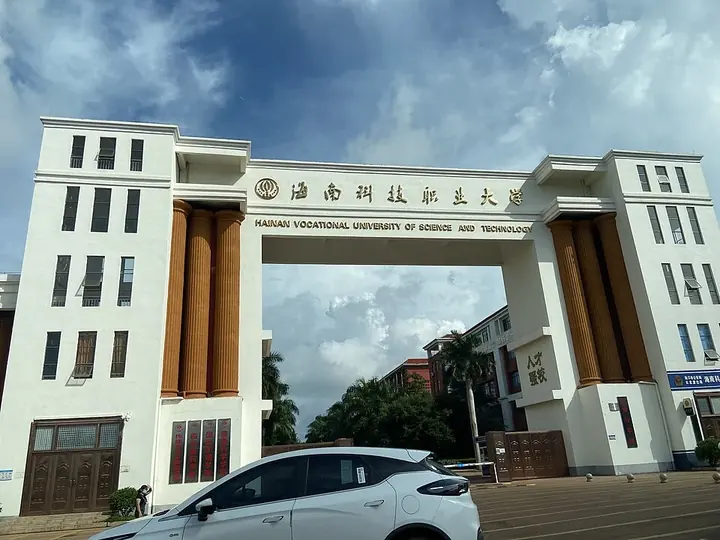
Photo adjustments
Full frame retained; proportionally resized and converted to WebP. No retouching or changes to the photographed subject. Card displays may crop the view.
- Administrative area
- District · 市辖区
- Part of
- Haikou
- Chinese name
- 美兰区
- Local areas
- District guide
Area & population
- Area in the source
- 581.06 km²
- Population · 2010
- 623,667
Source: cited geographic source, as of the dates shown.
History
The district government traces Haikou's first streets, villages and trading quarters to Baishajin (白沙津), the old harbour also known as Baishamen, which by the Song dynasty was already "a place where merchant boats gather" (“商舟所聚处”). Meilan's predecessor, Zhendong District (振东区), was formally set up in April 1991.
Zhendong was abolished in 2002 and Meilan District opened on 1 January 2003, combining the old Zhendong area with four towns of the Jiangdong (江东) area taken from the former Qiongshan city (琼山市). It is paired with Xiuying District (秀英区) in the phrase "Mei in the east, Xiu in the west".
Setting and landscape
The district yearbook describes stepped coastal terrain, higher in the south, that slopes down from southwest to northeast; most land lies below 10 metres, and the highest point, Jiadong Ridge (加东岭) in Dazhipo town (大致坡镇), reaches 151 metres. Meilan has 118 kilometres of coastline, 87 percent of Haikou's total, and looks across the strait to Hai'an (海安镇) in Xuwen County (徐闻县), Guangdong. The climate is tropical monsoon, and tropical storms and typhoons are active from April to October.
What to see
Hainan Dongzhaigang National Nature Reserve (海南东寨港国家级自然保护区), on the west side of Dongzhaigang in Yanfeng town (演丰镇), was China's first mangrove wetland reserve and one of the first seven Chinese sites on the Ramsar list of wetlands of international importance. About 1,771 hectares of it is mangrove, along a coast left deeply indented by an earthquake some 400 years ago, and it is on China's UNESCO World Heritage tentative list. The district counts 159 bird species, most of them in the reserve, including the black-faced spoonbill.
Haidian Island (海甸岛), cut off from the main island by the Haidian River (海甸河), holds the main campus of Hainan University (海南大学). Baishamen Park (白沙门公园) on its north shore has an amusement park, an artificial lake and sports grounds, and the Baishamen lighthouse stands at the island's northwest corner.
Getting oriented
Meilan borders Wenchang (文昌市) to the east and Fucheng town (府城镇) of Qiongshan District to the south, and meets Longhua District (龙华区) to the west along Haixiu Road and Boai Road. Haikou Meilan Airport is in the district, and Meilan station serves the Hainan ring high-speed railway and the Haikou suburban railway.
Highlights
- Hainan Dongzhaigang National Nature Reserve 海南东寨港国家级自然保护区: China's first mangrove wetland reserve, among the first seven Chinese Ramsar sites.
- Haidian Island 海甸岛: Island across the Haidian River with Hainan University's main campus.
- Baishamen Park 白沙门公园: Seafront park on Haidian Island's north shore with an amusement park and artificial lake.
Sources for this guide
美兰区之历史沿革_海口市美兰区人民政府门户网站 · Meilan District People's Government, Haikou
美兰区自然地理概况_海口市美兰区人民政府门户网站 · Meilan District People's Government, Haikou (from the Meilan Yearbook)
美兰区 - 维基百科,自由的百科全书 · Wikipedia (Chinese) · CC BY-SA 4.0
海南东寨港国家级自然保护区 - 维基百科,自由的百科全书 · Wikipedia (Chinese) · CC BY-SA 4.0
海甸岛 - 维基百科,自由的百科全书 · Wikipedia (Chinese) · CC BY-SA 4.0
Original English written from the listed sources and checked sentence by sentence against quoted extracts by a separate reviewer. Updated 2026-09-24.
Explore Meilan District
Core places to explore, with English and Chinese names.
Places to explore around Meilan District
 Dongzhaigang Mangrove Visitor Area ·
 Plan your visit
Getting there
Meilan District is about 6 km in a straight line from central Haikou. Search for 美兰区 in a map app to find stations and your accommodation.
Where to stay →Build your route
Start with Dongzhaigang Mangrove Visitor Area. The linked place guides have entrance and visit details.
Continue with Haikou →More in Haikou
Sources & geographic information
Administrative names and parent areas: Official geographic directory (dmfw.mca.gov.cn) · Reference date 2026-09-06.
Some facts checked against 美兰区 — Wikipedia contributors, CC BY-SA 4.0.
Some facts checked against 海南东寨港国家级自然保护区 — Wikipedia contributors, CC BY-SA 4.0.
Some facts checked against 海甸岛 — Wikipedia contributors, CC BY-SA 4.0.
Photo: Dongzhaigang Mangrove Visitor Area · Source photographer · License not provided. EXIF orientation normalized; resized without changing aspect ratio; converted to WebP. No subject edits.
Map data © OpenStreetMap contributors. Pins mark approximate centres, not entrances or boundaries.