


Get to know Nansha District
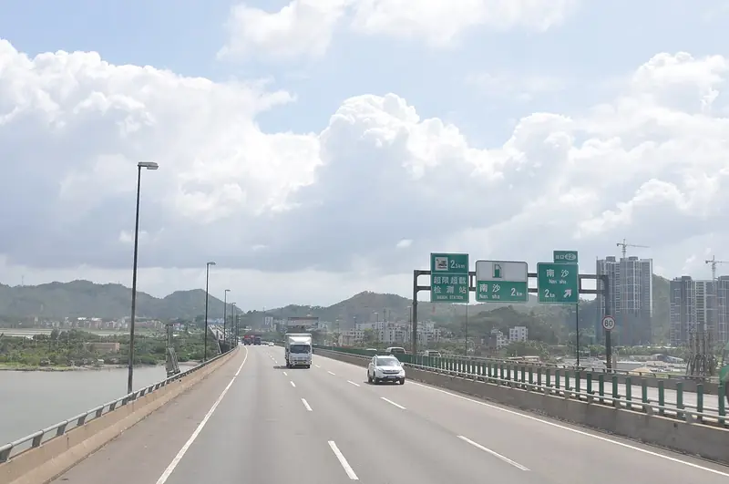
Photo adjustments
EXIF orientation normalized; resized without changing aspect ratio; converted to WebP. No subject edits.
- Administrative area
- District · 市辖区
- Part of
- Sansha
- Chinese name
- 南沙区
- Local areas
- District guide
Area & population
- Area in the source
- 886,000.00 km²
Source: cited geographic source, as of the dates shown.
History
The State Council approved Nansha and Xisha as Sansha's two districts on 18 April 2020, eight years after Sansha was inaugurated in July 2012. Every part of the district's area is subject to territorial disputes, and its authority is not internationally recognised. Of the roughly 45 features that are occupied, all carry structures manned by military forces from Malaysia, the People's Republic of China, Taiwan, the Philippines or Vietnam, and Brunei claims an exclusive economic zone in the southeast of the group. Taiping Island (太平岛), which Hainan Daily lists as the largest of the Spratlys, is held by Taiwan.
Setting and landscape
Anciently called Wanli Shitang (万里石塘), the "ten-thousand-li stone embankment", the Spratlys stretch 926 kilometres from north to south and 740 kilometres from east to west, over about 820,000 square kilometres of sea. A Hainan Daily geography series, republished by the Sansha government, counts more than 230 islands, cays, reefs, shoals and banks, of which about a fifth break the surface: 11 islands, 5 sand cays and 20 reefs. Two undersea canyons divide the seabed into three clusters. The northwest cluster has the most reefs, islands and cays, the northeast cluster has few, and in the southern cluster most features lie below water.
Taiping Island measures 1,383 metres by 416 metres, has thick vegetation and several wells, and has a blasted channel and a wharf where fishing boats can come alongside at high tide. The southernmost feature that China claims, Zengmu Ansha (曾母暗沙), is a submerged coral reef mound on the continental shelf of the southern South China Sea, 1,500 kilometres from Yulin port on Hainan.
Getting oriented
Taiping Island lies 750 kilometres south of Yongxing Island in the Paracels. The same series says more than seven in ten fishing boats working Nansha waters come from Tanmen (潭门) in Qionghai (琼海), and calls the 1990s the golden age of Tanmen fishing voyages to the Spratlys.
Highlights
- Yongshu Reef (Fiery Cross Reef) 永暑礁: Seat of the Nansha District government; occupied by the PRC.
- Taiping Island 太平岛: Largest of the Spratlys per Hainan Daily; held by Taiwan.
- Zengmu Ansha 曾母暗沙: Submerged reef 1,500 km from Hainan's Yulin port, counted by China as its southernmost point.
Sources for this guide
南沙群岛:230多岛礁串起万里石塘_三沙概况_三沙市人民政府网 · Sansha Municipal People's Government (reprinted from Hainan Daily)
Nansha, Sansha - Wikipedia · Wikipedia (English) · CC BY-SA 4.0
Spratly Islands - Wikipedia · Wikipedia (English) · CC BY-SA 4.0
市情_三沙市人民政府网 · Sansha Municipal People's Government
Original English written from the listed sources and checked sentence by sentence against quoted extracts by a separate reviewer. Updated 2026-09-24.
Explore Nansha District
Core places to explore, with English and Chinese names.
Nansha District 南沙区
Plan your visit
Getting there
Nansha District is about 810 km in a straight line from central Sansha. Search for 南沙区 in a map app to find stations and your accommodation.
Where to stay →More in Sansha
Sources & geographic information
Administrative names and parent areas: Official geographic directory · Reference date 2026-09-06.
Some facts checked against Nansha, Sansha — Wikipedia contributors, CC BY-SA 4.0.
Some facts checked against Spratly Islands — Wikipedia contributors, CC BY-SA 4.0.
Map data © OpenStreetMap contributors. Pins mark approximate centres, not entrances or boundaries.