

Photo adjustments
Full-frame source proportionally resized and converted to WebP for display. No subject alteration. Source-supplied marks and edits remain; cards may crop the view.
Explore the region
About Juyan Lake
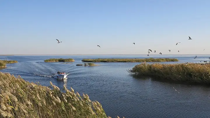
Its water and reed margins form an oasis in the arid country north of Dalai Hob. Restoration of downstream water flows revived the lake after it had dried out in the twentieth century. A visit works best from the managed eastern-lake shore, watching the open water and reed habitat rather than searching for the largely dry western basin.
Historically known as Juyanze (居延泽) in the Han dynasty and Xihai (西海) after that, the lake has been called Juyan Hai since the Tang. It lay along the Hexi Corridor from the Western Han to the Tang dynasty, part of Zhangye commandery, and Han bamboo slips (居延汉简) dating from the mid-Western Han to the late Eastern Han have been excavated in the area. The Western Xia dynasty built the walled town of Khara-Khoto (黑水城) beside the lake; in 1372 a Ming army dammed the river to force the town's surrender, after which the lake's river changed course and its oasis vegetation declined.
The lake comprises two basins: the western Gashun Nuur (嘎顺淖尔), now mostly dried up, and the eastern Sogo Nuur (苏古诺尔), today a national-level water conservancy scenic area. It lies at the end of the Heihe river system, called the Ejin River in its lower reaches, which rises in the Qilian Mountains and flows more than 800 kilometres before dividing into its eastern and western branches at the Bayan Baogede sluice. Its surrounding wetland, the inland delta of the Ejin River, covers an area of about 10,000 square kilometres.
What to look for
- The open water of East Juyan Lake at the end of the Heihe river system.
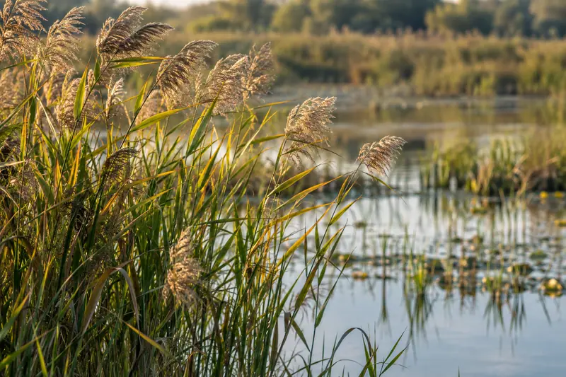
- The reed-fringed wetland margin and its seasonally changing birdlife.
Location & getting there
Getting to Juyan Lake
Use the East Juyan Lake scenic area in Ceke Gacha, Sogo Nuur Sumu, about 55 kilometres north of Dalai Hob.
- Specify East Juyan Lake when arranging your road transfer; West Juyan Lake is a separate basin with a different location and condition.
Combine your visit
Suggested order within this visit:
-
Open-water viewing area
Begin with the lake's broad horizon.
-
Designated reed-edge route
Continue along the public wetland margin and observe birds from a distance.
This sequence is an editorial suggestion based on the features described in the sources. Access to individual buildings or areas should be checked locally; no travel time or shared admission is implied.
Find Juyan Lake
居延海 · 内蒙古自治区阿拉善盟额济纳旗苏泊淖尔苏木策克嘎查东居延海景区;达来呼布镇向北55公里
No reliable map pin yet: search by the Chinese name.
Sources & visit information
The sources below support the place-specific description and arrival information. Suggested combinations are editorial planning ideas; confirm current opening, entry arrangements and transport services for your date.
- Wikipedia: 居延海 ↗
- Ejin government: East Juyan Lake in Ceke Gacha, 55 kilometres north of Dalai Hob ↗
- English Wikipedia: Juyan Lake (revision 1330239477, 2025-12-30) ↗
Visitor information adapted and edited from Wikipedia contributors · CC BY-SA 4.0. Source revision 92468797.
Background paragraphs translated and condensed from Wikipedia contributors, "居延海", Chinese Wikipedia · CC BY-SA 4.0. Source revision 92468797.
Background paragraphs condensed from Wikipedia contributors, "Juyan Lake", English Wikipedia · CC BY-SA 4.0. Source revision 1330239477.