


Get to know Jinhu County
- Administrative area
- County · 县
- Part of
- Huai'an
- Chinese name
- 金湖县
- Local areas
- County guide
Area & population
- Area in the source
- 1,393.86 km²
- Population · 2020 census
- 289,456
Source: cited geographic source, as of the dates shown.
Setting and landscape
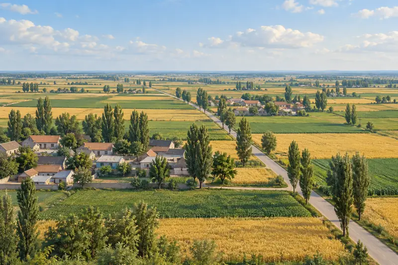
Jinhu lies on the lower Huai River, between Hongze Lake (洪泽湖) to the west and the Grand Canal to the east. Chinese Wikipedia rings the county with lakes: Hongze on the west, Gaoyou on the south, Baoying Lake (宝应湖) on the east and Baima Lake (白马湖) on the north. The land falls from west to east. Lake-deposited plain broken by lakes and marshes covers about three quarters of the land in the north, east and south, and the southwest is gently sloping hill country. Water makes up about 420 of the county's roughly 1,394 square kilometres.
History
The Communist Party approved a new county here in October 1959 and the State Council confirmed it in April 1960. The name "Jinhu", "golden lake", echoes Jinhu (津湖), the old name of Siguang Lake (汜光湖) inside the county, and Premier Zhou Enlai approved the choice. Older history includes the Battle of San'e (三阿之战), fought within today's county between Former Qin and Eastern Jin in 379. Local officials claim Jinhu as the home of the legendary Emperor Yao (尧), citing a line in the Shiji Suoyin commentary (《史记索隐》) that at his birth his mother was south of San'e, a spot Chinese Wikipedia identifies with today's Taji (塔集镇); a Yao Emperor Park (尧帝公园) was built in 2009-2010.
What to see
The Jinhu Water Forest (金湖水上森林) is the centrepiece of the county's tourism branding: Jiangsu news site jschina.com.cn counts more than 5,000 mu (about 330 hectares) of pond cypress and more than 3,000 mu of reed marsh, home to birds and aquatic animals. Lotus is the other theme. Chinese Wikipedia places the Lotus Marsh (荷花荡) scenic area at Minqiao (闵桥镇), and jschina.com.cn describes the Jinhu Lotus Festival (金湖荷花节), 19 years old in 2020, as the county's summer calling card; Lotus Square (荷花广场), a disused harbour rebuilt around a lotus theme, becomes a lakeside night market after dark. The jschina.com.cn report also lists Baima Lake National Wetland Park (白马湖国家湿地公园) and Sanhe Bay National Water Conservancy Scenic Area (三河湾国家水利风景区) among Jinhu's attractions.
Food and local products
Jinhu's lotus and lotus-root trade has produced lotus-flower tea, lotus-root juice and a cooling lotus-leaf tea as local products.
Highlights
- Jinhu Water Forest 金湖水上森林: Over 5,000 mu of pond cypress and 3,000 mu of reed marsh.
- Lotus Marsh 荷花荡: Lotus scenic area at Minqiao; the Jinhu Lotus Festival is held in summer.
- Lotus Square 荷花广场: A disused harbour rebuilt on a lotus theme, lit up as a night market.
- Baima Lake National Wetland Park 白马湖国家湿地公园: Wetland park on the lake along the county's north.
Sources for this guide
金湖县 - 维基百科,自由的百科全书 · Chinese Wikipedia · CC BY-SA 4.0
全域旅游看江苏 金湖:从旅游洼地到水美天堂的精彩蝶变_中国江苏网 · jschina.com.cn (Jiangsu news site)
Original English written from the listed sources and checked sentence by sentence against quoted extracts by a separate reviewer. Updated 2026-09-25.
Explore Jinhu County
Core places to explore, with English and Chinese names.
Places to explore around Jinhu County
 AI illustration · AI
 Plan your visit
Getting there
Jinhu County is about 60 km in a straight line from central Huai'an. Search for 金湖县 in a map app to find stations and your accommodation.
Where to stay →Build your route
Start with Jinhu Water Forest. The linked place guides have entrance and visit details.
Continue with Huai'an →More in Huai'an
Sources & geographic information
Administrative names and parent areas: Official geographic directory · Reference date 2026-09-06.
Some facts checked against 金湖县 — Wikipedia contributors, CC BY-SA 4.0.
Map data © OpenStreetMap contributors. Pins mark approximate centres, not entrances or boundaries.