

Photo adjustments
Full frame retained; proportionally resized and converted to WebP. No retouching or changes to the photographed subject. Card displays may crop the view.
Explore the region
About Wanpingkou
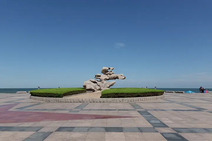
The main Ecological Square anchors the southern visitor area, while Zhulang Bridge and other shoreline features provide changing viewpoints along the coast. This is a spread-out waterfront rather than a single bathing enclosure. Choose an entrance near the part you want to explore, and treat the sea conditions and marked bathing zones as separate from access to the promenade.
Merchant ships were already mooring at Wanpingkou during the Yuan dynasty. Because tidal surges often struck the area, a dam and embankment to hold back the tide, along with a sluice gate to control the seawater, were built there in October 1959. It was rebuilt as the 'Second Seawater Bathing Area' in 1992 and as a seaside amusement park in 1999, before the Ecological Square was completed in 2002 and the wider area reorganized again in 2016.
The 2016 reorganization arranged the area around one main square, the Ecological Square, three secondary squares, five feature clusters including Zhulang Bridge (逐浪桥), and five differently themed beach sections, along a coastline that runs 5,000 meters long. The site has been rated a national 4A-level tourist attraction (国家4A级旅游景区), a status given in February 2009.
What to look for
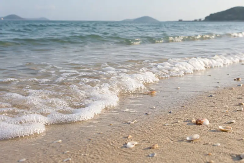
- The long Yellow Sea shoreline and its contrasting sandy and planted sections.
- Ecological Square and Zhulang Bridge within the coastal landscape.
Location & getting there
Getting to Wanpingkou
Approach Wanpingkou from Haiqu East Road on the central Rizhao seafront. The bathing-beach address is 398 Haiqu East Road; specify the gate or meeting point you intend to use along this broad coastal park.
Combine your visit
A suggested sequence linking the specific features of this visit.
-
Ecological Square
Begin at the principal open space and orient yourself along the coast.
-
Zhulang Bridge area
Continue to a different waterfront viewpoint within the scenic area.
-
Beach and pine-green spaces
Finish with the sand and planted shoreline at the section you have chosen.
This order is editorial. Confirm access and any transfers between stops; it does not establish a walking route, same-day connection or common admission ticket.
Find Wanpingkou
万平口 · 日照市
The pin marks the area, not the entrance.
More places nearby
Approximate straight-line distances between map pins, not travel distances.
Langyatai Platform 琅琊台
41 km awayLangyatai is a coastal hill associated with Qin imperial journeys, above the shore of Huangdao. Archaeology has revealed a substantial Qin building complex subsequently repaired in the Han period, including terraces and an…
View guide →FuLaiShan scenic spot 浮来山
78 km awayFulaishan is a group of low hills west of Ju County, with three peaks enclosing the landscape on its northern, western and southern sides. The visit is as much about religious buildings and old trees as mountain scenery. Dinglin…
View guide →Golden Beach (Qingdao) 黄岛金沙滩
86 km awayGolden Beach stretches in a broad crescent along the southern side of Huangdao’s Xuejiadao peninsula. Its fine yellow sand and open Yellow Sea setting give it a different character from the compact bathing beaches below…
View guide →Sources & visit information
The sources below support the place-specific description and arrival information. Suggested combinations are editorial planning ideas; confirm current opening, entry arrangements and transport services for your date.
Visitor information adapted and edited from Wikipedia contributors, “万平口” · CC BY-SA 4.0. Source revision 92198864.
Background paragraphs translated and condensed from Wikipedia contributors, "万平口", Chinese Wikipedia · CC BY-SA 4.0. Source revision 92198864.