

Photo adjustments
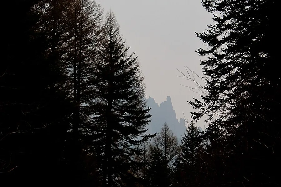
Proportionally resized and converted to WebP without cropping, retouching or changing the photographed subject.
Explore the region
About Mount Luya
The Malun approach combines woodland steps, an open upland meadow and a rocky final ascent towards Taizi Hall. This change from forest to grassland to exposed summit is the reason to choose this particular mountain route. The ice caves and hanging villages advertised under the wider Luya destination belong to other sectors and require separate planning.
Mount Luya is the main peak of the Guancen Mountains (管涔山) and takes its name from its layered, stacked peaks, said to resemble reed shoots. It lies about 30 kilometres southwest of the Ningwu county seat, within the Lüliang mountain range, and rises to 2,739 metres; both the Fen River and the Sanggan River rise on the mountain.
The scenic area supports more than 700 plant species, over 240 animal species and more than 100 valued medicinal herbs, including stands of larch and spruce, and is a principal protected habitat for the brown eared pheasant (褐马鸡), a nationally protected animal of the first class.
What to look for
- Malun Grassland, an open meadow reached through the wooded mountain slopes.
- The rocky Luya summit and Taizi Hall, reached on a more demanding continuation beyond the meadow.
Location & getting there
Getting to Mount Luya
Use Dongzhai Town in Ningwu County as the approach to the Luya scenic area, then confirm transport to the Malun Grassland–Luya route.
- Arrange a return from the same mountain sector; do not assume the ice-cave route shares its entrance.
Combine your visit
Suggested order within this visit:
-
Malun forest approach
Start with the wooded ascent.
-
Malun Grassland
Pause in the open meadow before deciding whether to continue.
-
Taizi Hall summit route
Continue only if the route is open and the climb suits the group.
This sequence is an editorial suggestion based on the features described in the sources. Access to individual buildings or areas should be checked locally; no travel time or shared admission is implied.

Find Mount Luya
芦芽山 · 忻州市
The pin marks the area, not the entrance.
More places nearby
Approximate straight-line distances between map pins, not travel distances.
Chongfu Temple 崇福寺
77 km awayChongfu Temple's deepest courtyards contain two especially valuable Jin-period halls. Mituo Hall brings together timber architecture, painted sculpture, murals and patterned window screens, with a large Amitabha ensemble beneath…
View guide →Yanmen Pass 雁门关
95 km awayYanmen Pass guards a mountain crossing north of Dai County. Its walls and gatehouses explain how a pass worked as a defended settlement, with a trading street below the military buildings. The Dili and Tianxian gates give the…
View guide →Nanchan Temple 南禅寺
102 km awayNanchan Temple's Great Buddha Hall is modest in size but unusually revealing about Tang timber building. The square, three-bay hall has no interior column forest, allowing the roof structure and sculptural platform to be read…
View guide →Sources & visit information
The sources below support the place-specific description and arrival information. Suggested combinations are editorial planning ideas; confirm current opening, entry arrangements and transport services for your date.
Visitor information adapted and edited from Wikipedia contributors · CC BY-SA 4.0. Source revision 92021385.
Background paragraphs translated and condensed from Wikipedia contributors, "芦芽山风景名胜区", Chinese Wikipedia · CC BY-SA 4.0. Source revision 92021385.