

Photo adjustments
Full-frame source proportionally resized and converted to WebP for display. No subject alteration. Source-supplied marks and edits remain; cards may crop the view.
Explore the region
About Gaomei Wetlands
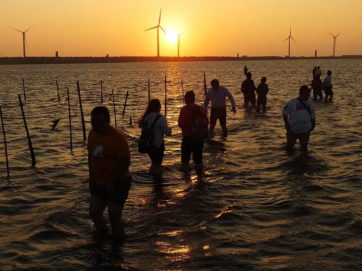
The boardwalk provides a way to observe the habitat while keeping visitor movement within managed areas. Light and tide transform the view, so the same shoreline can feel very different across the day.
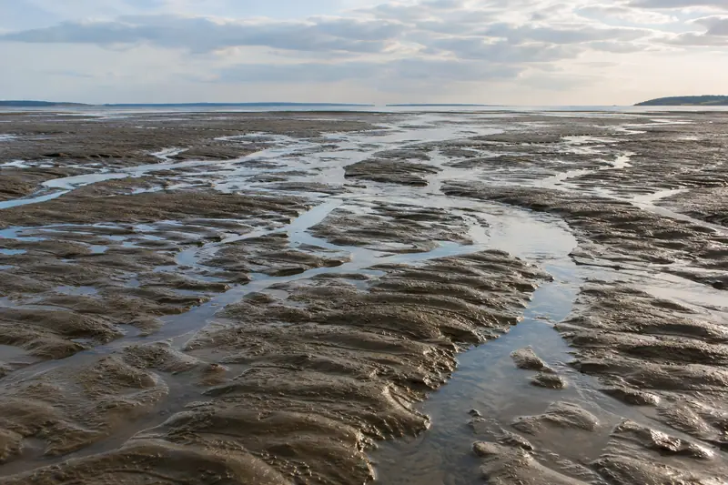
Use the wetland visit for slow observation rather than walking wherever the ground looks exposed. The landscape bridge nearby adds another perspective across the coastal drainage channel. Boardwalk access follows tides and local instructions; a sunset plan does not guarantee entry onto the flats.
What to look for
- The boardwalk overlooks a mixture of mudflat, sandflat and wetland habitats.
- Bird activity adds interest beyond the familiar sunset photograph.
- The nearby landscape bridge gives a different view of the coastal setting.
Location & getting there
Getting to Gaomei Wetlands
Qingshui railway station is the onward public-transport transfer point identified by Taichung’s visitor guide. Continue to Gaomei Wetlands bus stop or the visitor area on Gaomei Road, then follow the current signs for the boardwalk.
Combine your visit
Build the visit around these complementary stops.
-
Wetland visitor area高美濕地遊客服務區
Check the day’s tide-dependent access before walking out.
-
Boardwalk高美濕地木棧道
Observe the wetland from the permitted route.
-
Landscape bridge高美濕地景觀橋
Add a shore-side viewpoint if conditions permit.
Use the current visitor programme and local conditions to choose which stops to include.
Find Gaomei Wetlands
高美濕地 · 臺中市
The pin marks the area, not the entrance.
More places nearby
Approximate straight-line distances between map pins, not travel distances.
National Taichung Theater 臺中國家歌劇院
19 km awayThe National Taichung Theater in Xitun is a performance venue designed by Toyo Ito. Its attraction extends beyond attending a show: the building contains several theatres, a smaller multipurpose space, outdoor areas and a roof…
View guide →National Museum of Natural Science 國立自然科學博物館
21 km awayTaichung’s National Museum of Natural Science is a broad museum campus with subjects ranging from life and evolution to human cultures and the physical world. The Life Science Hall includes dinosaurs, plant evolution and the…
View guide →Shengxing railway station 勝興車站
25 km awayShengxing is a small wooden station in the hills above Sanyi, associated with the old mountain railway. The station building, trackside setting and settlement around it make a coherent heritage stop. Its scale is modest, so the…
View guide →Sources & visit information
The sources below support the place-specific description and arrival information. Suggested combinations are editorial planning ideas; confirm current opening, entry arrangements and transport services for your date.
- Tourism Administration: 高美濕地景觀橋 — attraction record Attraction_387000000A_001150 ↗
- Taichung Tourism: wetland access, tides and public transport ↗
Selected visitor facts translated and adapted from Tourism Administration and contributing local tourism authorities, 2026 Tourism Information Database v2.1 — 高美濕地_高美野生動物保護區 (Attraction_387000000A_000054) · Open Government Data License 1.0.
Selected visitor facts translated and adapted from Tourism Administration and contributing local tourism authorities, 2026 Tourism Information Database v2.1 — 高美濕地景觀橋 (Attraction_387000000A_001150) · Open Government Data License 1.0.