


Get to know Bincheng District
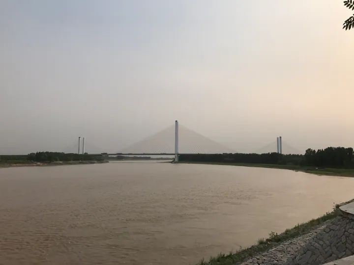
Photo adjustments
Full frame retained; proportionally resized and converted to WebP. No retouching or changes to the photographed subject. Card displays may crop the view.
- Administrative area
- District · 市辖区
- Part of
- Binzhou
- Chinese name
- 滨城区
- Local areas
- District guide
Area & population
- Area in the source
- 1,041.00 km²
- Population · 2020 census
- 853,649
Source: cited geographic source, as of the dates shown.
History
Binzhou was established in 956, with Bohai County (渤海县) and Putai County (蒲台县) under its jurisdiction. In 1913, Binzhou became Bin County (滨县). A county-level city of Binzhou was established in 1982; in December 2000 it became Bincheng District.
What to see
The former residence of Du Shoutian (杜受田故居) and Huaizhou Shrine (怀周祠) are among the district’s named heritage attractions. Other places to see include Puhu Scenic Area (蒲湖风景区), Sanhe Lake Scenic Area (三河湖风景区) and Bohai Revolution Memorial Park (渤海革命纪念园). The Delongyan Railway (德龙烟铁路) crosses the district, while National Highway 205 runs north–south and National Highway 220 runs east–west.
Sources for this guide
滨州市人民政府 县区概况 滨城区 · Binzhou Government
滨城区 - 维基百科,自由的百科全书 · Wikipedia contributors · CC BY-SA 4.0
Original English written from the listed sources and checked sentence by sentence against quoted extracts by a separate reviewer. Updated 2026-09-26.
Explore Bincheng District
Core places to explore, with English and Chinese names.
Bincheng District 滨城区
Plan your visit
Getting there
Bincheng District is about 7 km in a straight line from central Binzhou. Search for 滨城区 in a map app to find stations and your accommodation.
Where to stay →More in Binzhou
Sources & geographic information
Administrative names and parent areas: Official geographic directory · Reference date 2026-09-06.
Some facts checked against 滨城区 — Wikipedia contributors, CC BY-SA 4.0.
Map data © OpenStreetMap contributors. Pins mark approximate centres, not entrances or boundaries.