

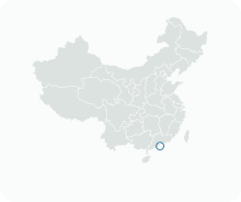
Get to know Fai Chi Kei
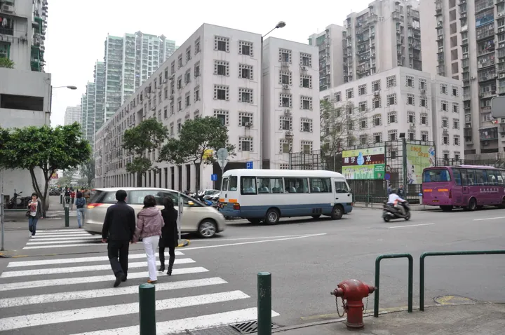
Photo adjustments
Full frame retained; proportionally resized and converted to WebP. No retouching or changes to the photographed subject. Card displays may crop the view.
- Administrative area
- Statistical area · 統計分區
- Part of
- Macau
- Chinese name
- 筷子基區
- Local areas
- Statistical area guide
History
The site was once a sandbank known in old times as Chizhou (赤洲, "red islet"). In the 1920s it was filled into a narrow strip of land, linked on its east side by a small bridge to Avenida do General Castelo Branco (白朗古將軍大馬路). In 1932 fourteen two-storey houses were built on it in two rows, named the 528 quarter (五二八坊) after the 28 May movement of 1926 (五二八革新). Because the two rows looked like a pair of chopsticks, the place came to be called Fai Chi Kei, "chopstick base".
The bridge was filled in during the 1940s, joining the strip to the peninsula. In the 1970s new land was reclaimed to the north-east and more than ten blocks went up on it, and in the 1980s the old low-rise houses were replaced by tower blocks while further reclamation joined Fai Chi Kei to San Kio (新橋) and Patane (沙梨頭). Several streets keep the name, among them Rua de Fái Chi Kei (筷子基街), which runs from Rua do Comandante João Belo (俾若翰街) to the waterfront.
Waterfront and public spaces
From mid-2020 the Land, Public Works and Transport Bureau (土地工務運輸局) raised parts of the sea wall along the shore from the Avenida Marginal do Lam Mau rest area (林茂海邊大馬路休憩區) to Rua Alta da Ilha Verde (青洲上街), building a concrete flood wall at least 3.2 metres above mean sea level. By July 2021 the work was nearly complete and the Fai Chi Kei North Bay rest area (筷子基北灣休憩區) had reopened. The Macao Government Tourism Office used the North Bay rest area as a check-in point in its 2024 "Staychill Playcool Macao" (酷玩澳門) community campaign. In 2018 the municipal authority planned a further rest area of about 1,400 square metres on the wide pavement where Rua Sul do Patane (沙梨頭南街), Rua do General Ivens Ferraz (飛喇士街) and Avenida da Concórdia (和樂大馬路) meet, beside the Fai Chi Kei public housing blocks.
Highlights
- Fai Chi Kei North Bay rest area 筷子基北灣休憩區: A waterfront rest area on the North Bay, reopened in 2021 after flood-wall works.
- Rua de Fái Chi Kei 筷子基街: One of several streets that keep the district's 'chopstick base' name, running to the waterfront.
Sources for this guide
筷子基 - 維基百科,自由的百科全書 · Wikipedia (Chinese) · CC BY-SA 4.0
筷子基至青洲沿岸防洪工程進最後施工階段 – 澳門特別行政區政府入口網站 · Macao SAR Government Portal (Land, Public Works and Transport Bureau release)
民署將於飛喇士街新建休憩區 – 澳門特別行政區政府入口網站 · Macao SAR Government Portal (Civic and Municipal Affairs Bureau release)
【促社區經濟】“酷玩澳門”延伸至中區設大型裝置市集 – 澳門特別行政區政府入口網站 · Macao SAR Government Portal (Macao Government Tourism Office release)
Original English written from the listed sources and checked sentence by sentence against quoted extracts by a separate reviewer. Updated 2026-09-23.
Find Fai Chi Kei
A reliable area-level map point is not available in the current sources.
Plan your visit
Getting there
Search for 筷子基區 in a map app to find stations and your accommodation.
Where to stay →More in Macau
Sources & geographic information
Administrative names and parent areas: Official geographic directory · Reference date 2026-09-06.
DSEC statistical-zone directory
IAM: Bacia Norte do Patane drainage and waterfront leisure area
Some facts checked against 筷子基 — Wikipedia contributors, CC BY-SA 4.0.
Map data © OpenStreetMap contributors. Pins mark approximate centres, not entrances or boundaries.