


Get to know Anci District
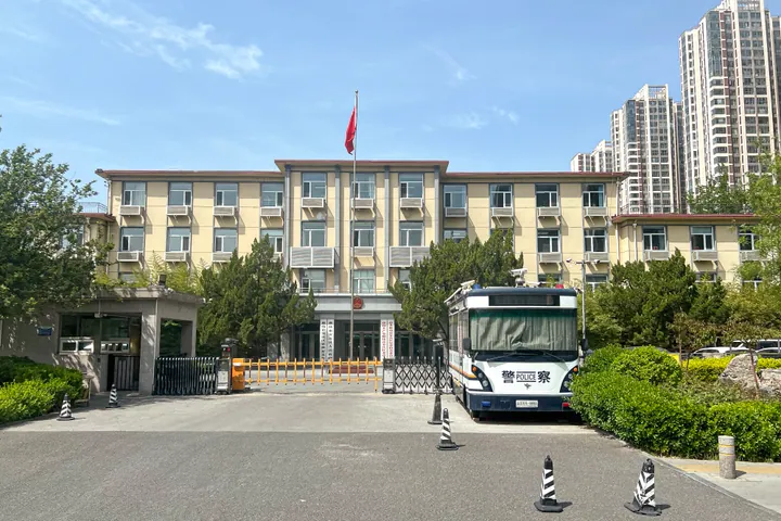
Photo adjustments
Full frame retained; proportionally resized and converted to WebP. No retouching or changes to the photographed subject. Card displays may crop the view.
- Administrative area
- District · 市辖区
- Part of
- Langfang
- Chinese name
- 安次区
- Local areas
- District guide
Area & population
- Area in the source
- 595.00 km²
- Population · 2020 census
- 479,826
- Administrative seat
- North Yinhe Road Subdistrict, Guangyang District
Source: cited geographic source, as of the dates shown.
Setting and landscape
The district borders Wuqing District (武清区) of Tianjin to the east, Bazhou (霸州) to the south, Yongqing (永清) to the west and Guangyang District (广阳区) to the north. Its land was built up from Yongding River silt and is crossed by old riverbeds, falling gently from 26.6 metres above sea level in the northwest to 4.4 metres in the southeast. All its rivers are seasonal; the Yongding runs 29.6 kilometres through the district as a flood-detention zone and is now usually dry. June to August bring over 70 per cent of the yearly average of about 556 millimetres of rain.
History
The district government dates Anci County to 206 BC, when Liu Bang (刘邦) set it up, and calls it the home town of the Song chancellor Lü Duan (吕端) and the site of the "Langfang Victory" (廊坊大捷). Because the Yongding kept flooding, the county seat moved at least six times. From the early Western Han until 621 it stood at Guxian village (古县村), west of today's Langfang. In February 1950 the river broke its dykes and flooded the county town at Zhanglidian (张李店), so the seat moved to Langfang; floods in 1954 and 1956 buried the old town under sand beneath today's Guangrong village (光荣村). In 1989 the county-level city of Langfang became Anci District.
What to see
The Geyucheng Chongge Hui (葛渔城重阁会), a national intangible heritage parade form since 2008, came to the area from Shanxi in the Qianlong reign. A strong male performer carries an iron frame on his back, and a child of about ten, costumed in a female role, is fixed to its iron rod above him, the pair forming opera characters. Junlu village's music society (军卢村音乐会) plays Buddhist sheng-and-pipe music, which is also on the national list; musicians of Junlu and Dongzhangwu (东张务) composed their own tunes during the Boxer movement of 1900. Dishili (第什里) kites, mostly soft-winged birds and insects, combine features of Beijing's Ha kites and Tianjin's Wei kites.
Getting oriented
Beijing Daxing International Airport is 25 kilometres away. The first stop out of Beijing on the Beijing–Shanghai high-speed railway is in Anci, and the Tianjin–Xing'an intercity line has an Anci South Station.
Highlights
- Geyucheng Chongge Hui 葛渔城重阁会: Two-tier parade in which children in opera costume ride iron frames on performers' backs; national intangible heritage since 2008.
- Junlu village music society 军卢村音乐会: Buddhist sheng-and-pipe music on the national list, with tunes composed during the 1900 Boxer movement.
- Dishili kites 第什里风筝: Soft-winged bird and insect kites drawing on Beijing and Tianjin styles.
Sources for this guide
安次概况 · Anci District People's Government, Langfang
自然地理 · Anci District People's Government, Langfang
永定河与安次县 · Anci District People's Government, Langfang
安次文化遗产目录 · Anci District People's Government, Langfang
抬阁(芯子、铁枝、飘色)(葛渔城重阁会) · China Intangible Cultural Heritage Protection Center (ihchina.cn)
Original English written from the listed sources and checked sentence by sentence against quoted extracts by a separate reviewer. Updated 2026-09-24.
Explore Anci District
Core places to explore, with English and Chinese names.
Anci District 安次区
Plan your visit
Getting there
Anci District covers the centre of Langfang. Search for 安次区 in a map app to find stations and your accommodation.
Where to stay →More in Langfang
Sources & geographic information
Administrative names and parent areas: Official geographic directory · Reference date 2026-09-06.
Map data © OpenStreetMap contributors. Pins mark approximate centres, not entrances or boundaries.