


Get to know Hailun
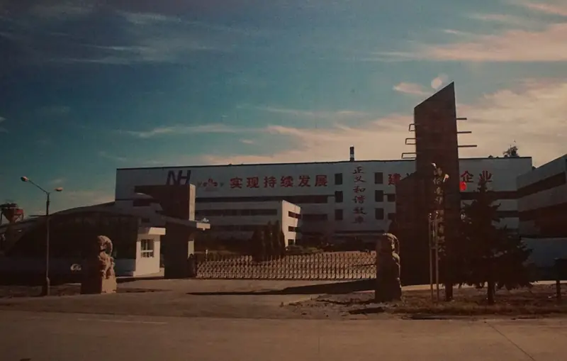
Photo adjustments
EXIF orientation normalized; resized without changing aspect ratio; converted to WebP. No subject edits.
- Administrative area
- County-level city · 县级市
- Part of
- Suihua
- Chinese name
- 海伦市
- Local areas
- County-level city guide
Area & population
- Area in the source
- 4,667.00 km²
- Population · 2018
- 756,616
- Administrative seat
- Hailun Town (海伦镇)
Source: cited geographic source, as of the dates shown.
Setting and landscape
Hailun lies at the north-eastern end of the Songnen Plain, at the western foot of the Lesser Khingan. Winters are long and severe with north-westerly winds, and the recorded low is -40.3°C; summers are humid and rainy, and 88 per cent of the year's rain falls from May to September. The frost-free season is about 120 days. The city's culture and tourism bureau uses the slogan "black soil, selenium capital" (黑土硒都) for the city.
History
The town takes its name from the Hailun River (海伦河) south of the city, which in turn comes from a Manchu word for "otter", after the otters that lived in it. In 1898 the area came under the newly founded office of the Tongken deputy lieutenant-general (通肯副都统); it became Hailun prefecture in 1909 and Hailun county in 1912, and in 1932, after the Japanese invasion, it was placed in Manchukuo's Binjiang province. The culture and tourism bureau highlights the anti-Japanese general Ma Zhanshan (马占山), who set up a national resistance command in Hailun and exposed the nature of Manchukuo to the League of Nations.
What to see
Hailun paper-cutting (海伦剪纸) was added to the national intangible heritage list in 2021. China's national intangible heritage website traces it to an old custom of the Manchu's forebears of cutting animal hides into ornaments. Local cutters developed multi-colour layered carving, and themed series range from Manchu wedding customs to ice-and-snow scenes; "Manchu Wedding Customs" (满族婚俗图) is listed as a representative work.
For the outdoors, the culture and tourism bureau points to a canyon waterfall at the Jingjiadian forest farm (景家店林场), flower fields at the Chenjiadian forest farm (陈家店林场), a ten-li birch wood at the Tongkenhe forest farm and the wetlands of the Tongken and Zhayin (扎音河) rivers. It also lists Sanshenggong (三圣宫), a temple that unites the "three teachings" of Buddhism, Taoism and Confucianism, the western-style St Joseph's Church (圣约瑟教堂) and the Dongtai Korean village (东太朝鲜民族村).
Food and local products
Products the bureau promotes as selenium-rich include Hailun baijiu (海伦白酒), sweet groundcherries from Sanshenggong (三圣宫甜菇娘), shallots from Qianjin (前进毛葱) and rice from Changfa (长发大米).
Highlights
- Hailun paper-cutting 海伦剪纸: National intangible heritage since 2021; traced to Manchu hide-cutting ornaments.
- Sanshenggong 三圣宫: Temple uniting the three teachings, promoted by the city's culture and tourism bureau.
- St Joseph's Church 圣约瑟教堂: Western-style church listed among Hailun's religious sites.
Sources for this guide
剪纸(海伦剪纸) — 中国非物质文化遗产网 · China Intangible Cultural Heritage Network (ihchina.cn)
海伦市文体广电和旅游局公共文化服务工作计划 — 海伦市人民政府 · Hailun City Bureau of Culture, Sports, Radio, Television and Tourism
海伦市 — 维基百科 · Wikipedia (Chinese) · CC BY-SA 4.0
Original English written from the listed sources and checked sentence by sentence against quoted extracts by a separate reviewer. Updated 2026-09-24.
Explore Hailun
Core places to explore, with English and Chinese names.
Places to explore around Hailun
 Hailun National Forest Park ·
 Plan your visit
Getting there
Hailun is about 90 km in a straight line from central Suihua. Search for 海伦市 in a map app to find stations and your accommodation.
Where to stay →Build your route
Start with Hailun National Forest Park. The linked place guides have entrance and visit details.
Continue with Suihua →More in Suihua
Sources & geographic information
Administrative names and parent areas: Official geographic directory · Reference date 2026-09-06.
Some facts checked against 海伦市 — Wikipedia contributors, CC BY-SA 4.0.
Photo: Hailun National Forest Park · Source photographer · License not provided. EXIF orientation normalized; resized without changing aspect ratio; converted to WebP. No subject edits.
Map data © OpenStreetMap contributors. Pins mark approximate centres, not entrances or boundaries.