


Get to know Xiangxiang
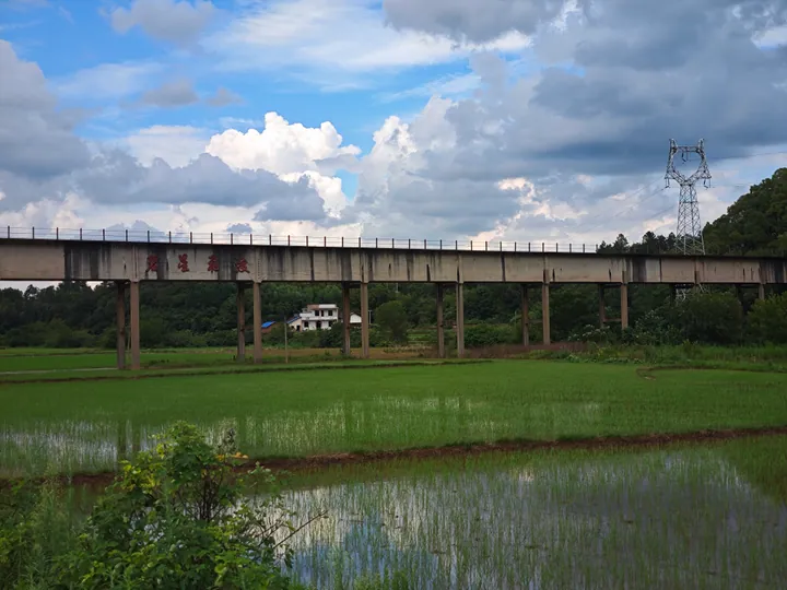
Photo adjustments
Full frame retained; proportionally resized and converted to WebP. No retouching or changes to the photographed subject. Card displays may crop the view.
- Administrative area
- County-level city · 县级市
- Part of
- Xiangtan
- Chinese name
- 湘乡市
- Local areas
- County-level city guide
Area & population
- Population · 2017
- 946,000
Source: cited geographic source, as of the dates shown.
Setting and landscape
The city sits where the hills of central Hunan drop towards the Xiang valley, between outliers of the Xuefeng (雪峰山) and Yuecheng (越城岭) ranges. The west and south are higher, the east and north gentler. The highest point is Sanjian Peak (三尖峰) on Mount Baozhong (褒忠山) at 807 metres; the lowest, at 41 metres, is where the Lian River leaves the city. The Lian winds 97 kilometres through Xiangxiang, and its catchment covers 89 per cent of the city's area.
History
Xiangxiang became an administrative unit in 3 BC, when the Western Han made Liu Chang (刘昌), a son of the Prince of Changsha, Marquis of Xiangxiang; a county of that name followed in the early Eastern Han. Zeng Guofan (曾国藩), commander of the Qing-era Xiang Army (湘军), was a native, and the city calls itself the army's birthplace. In 1952 parts of the old county were split off to form Shuangfeng (双峰) and Lianyuan (涟源). Xiangxiang has been under Xiangtan since 1983 and became a city in 1986.
What to see
Dongshan School began in 1895 as the Dongshan Jingshe (东山精舍), was renamed Dongshan Academy (东山书院) in 1900, and is now a secondary school; Mao wrote its present name for it in 1958. The academy is a national key cultural relics protection unit.
Dongtai Mountain National Forest Park (东台山国家森林公园), on the edge of town, covers 340.7 hectares in three sections: Dongtai, Tazi and Shizi hills. It includes "Leader's Reading Terrace" (领袖读书台), where Mao is said to have gathered with classmates, and man-made sights such as the Wenta pagoda (文塔) and Fenghuang Temple (凤凰寺).
Chugong Shrine (褚公祠) honours the Tang calligrapher Chu Suiliang (褚遂良), who was demoted to governor of Tanzhou (潭州) after opposing Empress Wu's elevation and is said to have washed his brushes in the pond beside it. Restored and reopened in December 2017, it became a provincial protected site in 2019. The Shuifu tourist area (水府旅游区) is promoted as "Shuifu of all under heaven".
Food and local products
The city says Xiangxiang rice noodles (湘乡米粉) began moving into Changsha (长沙) in the 1980s and quickly came to dominate the market there. Lamp-wick cake (灯芯糕), a traditional local sweet, is white, soft, sweet and peppery, shaped like a lamp wick with a scent of cassia.
Highlights
- Dongshan School 东山学校: Opened 1895 as Dongshan Jingshe; Mao Zedong's old school; national key cultural relics protection unit as Dongshan Academy.
- Dongtai Mountain National Forest Park 东台山国家森林公园: 340.7-hectare park on the edge of town with the Wenta pagoda and Leader's Reading Terrace.
- Chugong Shrine 褚公祠: Shrine to the Tang calligrapher Chu Suiliang; provincial protected site since 2019.
- Xiangxiang rice noodles 湘乡米粉: Came to dominate the Changsha market from the 1980s, according to the city.
Sources for this guide
湘乡概况-湘乡市人民政府 · Xiangxiang Municipal People's Government
历史沿革-湘乡市人民政府 · Xiangxiang Municipal People's Government
自然地理-湘乡市人民政府 · Xiangxiang Municipal People's Government
东台山国家森林公园 · Xiangxiang Municipal People's Government
学校介绍 · Xiangxiang Municipal People's Government
湘乡米粉 · Xiangxiang Municipal People's Government (Xiangxiang media centre)
灯芯糕 · Xiangxiang Municipal People's Government
褚公祠 · Xiangxiang Municipal People's Government
Original English written from the listed sources and checked sentence by sentence against quoted extracts by a separate reviewer. Updated 2026-09-24.
Explore Xiangxiang
Core places to explore, with English and Chinese names.
Places to explore around Xiangxiang
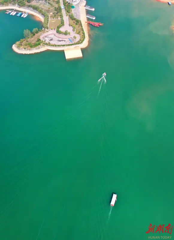 Shuifumiao Reservoir ·
 Plan your visit
Getting there
Xiangxiang is about 40 km in a straight line from central Xiangtan. Search for 湘乡市 in a map app to find stations and your accommodation.
Where to stay →Build your route
Start with Shuifumiao Reservoir. The linked place guides have entrance and visit details.
Continue with Xiangtan →More in Xiangtan
Sources & geographic information
Administrative names and parent areas: Official geographic directory · Reference date 2026-09-06.
Photo: Shuifumiao Reservoir · Source photographer · License not provided. EXIF orientation normalized; resized without changing aspect ratio; converted to WebP. No subject edits.
Map data © OpenStreetMap contributors. Pins mark approximate centres, not entrances or boundaries.