


Get to know Sangzhi County
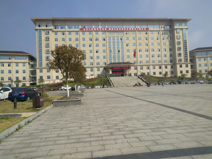
Photo adjustments
Full frame retained; proportionally resized and converted to WebP. No retouching or changes to the photographed subject. Card displays may crop the view.
- Administrative area
- County · 县
- Part of
- Zhangjiajie
- Chinese name
- 桑植县
- Local areas
- County guide
Area & population
- Area in the source
- 3,475.19 km²
Source: cited geographic source, as of the dates shown.
Setting and landscape
The county has 40 main ridges, most of them running northeast to southwest, and the land falls from northwest to southeast. The highest point is Doupeng Mountain (斗篷山), the main peak of Badagong Mountain, at 1,890.4 metres; the lowest, the Liuyangxi valley (柳杨溪) in Zhuyeping (竹叶坪), is at 154 metres. More than 410 fast-flowing streams cross the county, and the climate changes with height, summed up locally as "four seasons on one mountain".
Badagongshan National Nature Reserve (八大公山国家级自然保护区), at the northern end of the Wuling range, covers about 232 square kilometres in three sections, Doupengshan, Shanmujie (杉木界) and Tianpingshan (天平山). It was set up in 1982 and became a national reserve in 1986.
History
Under the Song emperor Renzong the area was ruled through a hereditary native chieftaincy, the Sangzhi Pacification Commission (桑植宣抚司), named after its seat at Sangzhiping (桑植坪); the arrangement lasted through the Yuan, Ming and Qing. It was replaced by regular administration in 1727, and Sangzhi County was created in 1729. Between 1927 and 1935 the Communists ran a county soviet government here. He Long (贺龙), one of the founders of the Red Army, was born at Hongjiaguan (洪家关) in 1896; his former residence there was restored in 1977 and became a national key cultural relic in 2006.
Music, dance and local products
Sangzhi folk songs (桑植民歌) entered the first national intangible heritage list in 2006. They include mountain songs, short tunes, ritual songs and nuo (傩) chants, and some use a three-line verse form. Masang Shu'er Da Dengtai (马桑树儿搭灯台) is counted among the classics of Chinese folk song.
The staff-drum dance (仗鼓舞) of the Sangzhi Bai, listed nationally in 2011, is danced by six to twenty men with slim-waisted long drums at festivals, harvest celebrations and temple fairs. The Bai here trace their arrival from Dali (大理) in Yunnan to the end of the Song and the start of the Yuan, and the dance revived after seven Bai townships were set up in 1984. Sangzhi radish (桑植萝卜) is a geographical-indication product.
Getting oriented
Sangzhi borders Cili (慈利), Shimen (石门) and Wulingyuan (武陵源) to the east, Yongding (永定) and Yongshun (永顺) to the south, Longshan (龙山) to the west, and Xuan'en (宣恩) and Hefeng (鹤峰) in Hubei to the north. The county lies 71 kilometres from Zhangjiajie city, and its seat is Liyuan (澧源). Sangzhi Station is on the Qianjiang–Zhangjiajie–Changde railway.
Highlights
- Badagongshan National Nature Reserve 八大公山国家级自然保护区: Forest reserve of about 232 square kilometres at the north end of the Wuling range; national reserve since 1986.
- Sangzhi folk songs 桑植民歌: National intangible heritage since 2006, including nuo chants and songs in three-line verse.
- Sangzhi staff-drum dance 桑植仗鼓舞: Bai men's dance with long drums, national intangible heritage since 2011.
- He Long's Former Residence 贺龙故居: Birthplace of He Long at Hongjiaguan, a national key cultural relic since 2006.
Sources for this guide
桑植县 - 维基百科,自由的百科全书 · Wikipedia (Chinese) · CC BY-SA 4.0
桑植民歌 - 中国非物质文化遗产网·中国非物质文化遗产数字博物馆 - 中国非物质文化遗产网非遗 · China Intangible Cultural Heritage Network (Ministry of Culture and Tourism)
仗鼓舞(桑植仗鼓舞) - 中国非物质文化遗产网·中国非物质文化遗产数字博物馆 - 中国非物质文化遗产网非遗 · China Intangible Cultural Heritage Network (Ministry of Culture and Tourism)
八大公山国家级自然保护区 - 维基百科,自由的百科全书 · Wikipedia (Chinese) · CC BY-SA 4.0
贺龙 - 维基百科,自由的百科全书 · Wikipedia (Chinese) · CC BY-SA 4.0
Original English written from the listed sources and checked sentence by sentence against quoted extracts by a separate reviewer. Updated 2026-09-25.
Explore Sangzhi County
Core places to explore, with English and Chinese names.
Places to explore around Sangzhi County
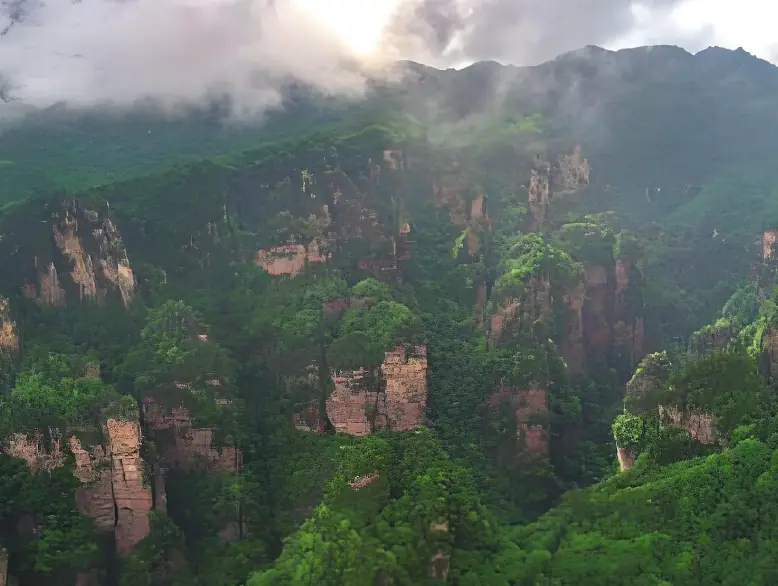 Jiutian Fenglian Scenic Area · 九天峰恋
Jiutian Fenglian Scenic Area九天峰恋
Jiutianfenglian (九天峰恋) is a scenic area in Sangzhi County, Zhangjiajie, Hunan, built around the large karst cavern of Jiutian Cave and extending to the wooded Fengluanxi valley, the Maoyan River gorge and the old river town of Kuzhu.
Read the place guide → AI illustration · AI 示意图(仅供参考,非该地点实拍)
Badagongshan Nature Reserve八大公山开放生态区
Badagongshan (八大公山) is a national nature reserve of old-growth mountain forest on the northern edge of Sangzhi County, Zhangjiajie, Hunan, where the province meets Hubei. It is a conservation and research area rather than a developed scenic resort, and the sources consulted do not define a public visitor route.
Read the place guide →Plan your visit
Getting there
Sangzhi County is about 45 km in a straight line from central Zhangjiajie. Search for 桑植县 in a map app to find stations and your accommodation.
Where to stay →Build your route
Jiutian Fenglian Scenic Area and Badagongshan Nature Reserve are both listed here. The linked place guides have entrance and visit details.
Continue with Zhangjiajie →More in Zhangjiajie
Sources & geographic information
Administrative names and parent areas: Official geographic directory · Reference date 2026-09-06.
Some facts checked against 桑植县 — Wikipedia contributors, CC BY-SA 4.0.
Some facts checked against 八大公山国家级自然保护区 — Wikipedia contributors, CC BY-SA 4.0.
Some facts checked against 贺龙 — Wikipedia contributors, CC BY-SA 4.0.
Photo: Jiutian Fenglian Scenic Area · Source photographer · License not provided. EXIF orientation normalized; resized without changing aspect ratio; converted to WebP. No subject edits.
Map data © OpenStreetMap contributors. Pins mark approximate centres, not entrances or boundaries.