

Photo adjustments
Full frame retained; proportionally resized and converted to WebP. No retouching or changes to the photographed subject. Card displays may crop the view.
Explore the region
About Dachaidan Lake
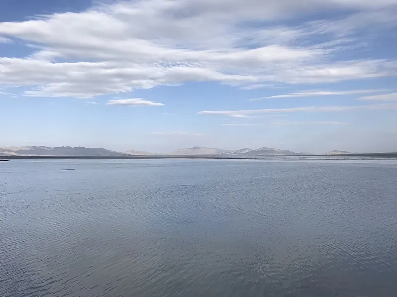
Mineral-rich water, saline flats and former extraction pools give the landscape its varied appearance. The regional lake reference helps explain the geography, while the managed Emerald Lake attraction provides the practical place to visit. A point in the lake itself is not an arrival address.
The surrounding shore consists of Quaternary alluvial and diluvial plains together with marsh and saline-alkali land, covering an area of about 200 square kilometres. The lake and its shoreline are rich in mineral resources, including boron, lithium, magnesium, sodium and potassium salts, and the water supply comes mainly from surrounding springs, with surface runoff and precipitation as secondary sources.
The lake lies within Da Chaidan Administrative Committee (大柴旦行政委员会) in Haixi Mongol and Tibetan Autonomous Prefecture, and is bow-shaped in outline. A 2000 survey recorded a water level of 3148.10 metres, a water surface area of 36 square kilometres and an average depth of 2.06 metres.
What to look for
- The saline basin contains mineral-rich water and salt-flat margins.
- The Emerald Lake visitor pools occupy a more specific part of this landscape.
Location & getting there
Getting to Dachaidan Lake
For sightseeing, navigate to the managed Dachaidan Emerald Lake entrance from Dachaidan town. Use this regional lake page for context, not for off-road access to the shore.
Combine your visit
Choose from these complementary stops when planning your visit.
-
Dachaidan town大柴旦镇
Arrange supplies, accommodation and road transport.
-
Emerald Lake visitor area大柴旦翡翠湖景区
Use the managed entrance and sightseeing route.
This is a suggested combination, not a timed route; confirm the opening and transport arrangements for your date.
Find Dachaidan Lake
大柴旦湖 · 海西州
The pin marks the area, not the entrance.
More places nearby
Approximate straight-line distances between map pins, not travel distances.
Dachaidan Emerald Lake 大柴旦翡翠湖
4 km awayDachaidan Emerald Lake is a managed collection of former extraction pools near Dachaidan town. Their blue and green tones contrast with white salt edges, with the appearance changing under different light and weather. The pools…
View guide →Qarhan Salt Lake 察尔汗盐湖
91 km awayQarhan is an extensive salt-flat system containing several brine lakes, rather than one uninterrupted lake. Dabusun is a major component, and the wider landscape supports large-scale mineral production. The visitor area presents…
View guide →Wusute Water Yardang Geopark 乌素特水上雅丹地质公园
135 km awayWusute Water Yardang combines wind-carved earth ridges with the water of Duck Lake in the Qaidam Basin. The contrast between pale, sculpted mounds and blue-green water is its defining view. Individual ridges resemble islands…
View guide →Sources & visit information
The sources below support the place-specific description and arrival information. Suggested combinations are editorial planning ideas; confirm current opening, entry arrangements and transport services for your date.
- Qinghai Government: Dachaidan Emerald Lake extraction pools and visitor area ↗
- 伊克柴达木湖 — Wikipedia geographic and historical reference ↗
- Chinese Wikipedia: 伊克柴达木湖 (revision 87538001, 2025-06-01) ↗
Geographic and historical facts selectively adapted from Wikipedia contributors, 伊克柴达木湖 · CC BY-SA 4.0. Source revision 87538001.
Background paragraphs translated and condensed from Wikipedia contributors, "伊克柴达木湖", Chinese Wikipedia · CC BY-SA 4.0. Source revision 87538001.