

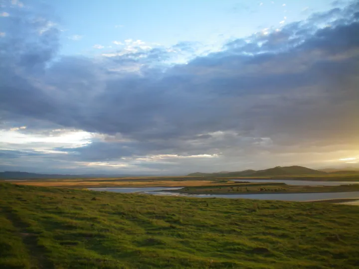
Photo adjustments
Full frame retained; proportionally resized and converted to WebP. No retouching or changes to the photographed subject. Card displays may crop the view.
Explore the region
About Ruoergai Grassland
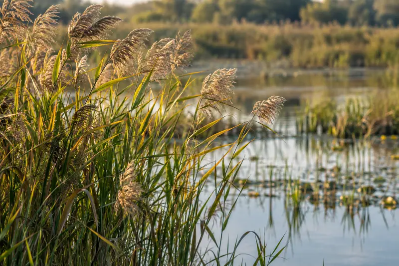
Flower Lake offers an accessible look at that wetland environment from designated boardwalks, with reeds, open water and bird habitat. Farther away at Tangke, the Yellow River’s First Bend shows the scale of the river landscape from higher ground. These are distinct outings across the plateau; neither is a licence to drive onto pasture or walk into protected marsh.
What to look for
- Flower Lake’s boardwalks cross a wetland landscape of reeds and open water.
- The First Bend viewpoint overlooks the broad curve of the Yellow River near Tangke.
Location & getting there
Getting to Ruoergai Grassland
For Flower Lake, follow the G213 road corridor north from Ruoergai’s Dazhasi town to the named Flower Lake visitor entrance. For the Yellow River view, arrange a separate road journey to the First Bend scenic area in Tangke Town. The two attractions have separate visitor arrangements.
Combine your visit
Suggested order for the visit:
-
Flower Lake boardwalk
Use the designated wetland route and observe wildlife from a distance.
-
Yellow River First Bend
Make a separate road transfer for the elevated river view.
This is an editorial sequence of named spaces or places. It does not imply a verified walking connection or promise opening, ticket availability or a journey time.
Find Ruoergai Grassland
若尔盖草原 · 阿坝州
The pin marks the area, not the entrance.
More places nearby
Approximate straight-line distances between map pins, not travel distances.
Jiuzhaigou Valley 九寨沟
130 km awayJiuzhaigou is a protected mountain-valley landscape in northern Sichuan where clear lakes, waterfalls and limestone formations sit below forested slopes. Its appeal comes from the relationship between water, minerals, vegetation…
View guide →Songpan Ancient City 松潘古城
147 km awaySongpan’s old city is shaped by its fortified gates and the Min River running through the built-up area. Gusong Bridge gives a close view of the water and the houses along its banks, while the surrounding streets retain a busy…
View guide →Huanglong Scenic and Historic Interest Area 黄龙风景名胜区
154 km awayHuanglong is a mountain valley distinguished by a sequence of travertine pools, mineral formations and waterfalls. The pale terraces and colored water are part of a natural system, set among forests and high peaks rather than…
View guide →Sources & visit information
The sources below support the place-specific description and arrival information. Suggested combinations are editorial planning ideas; confirm current opening, entry arrangements and transport services for your date.