


Get to know Ninghe District
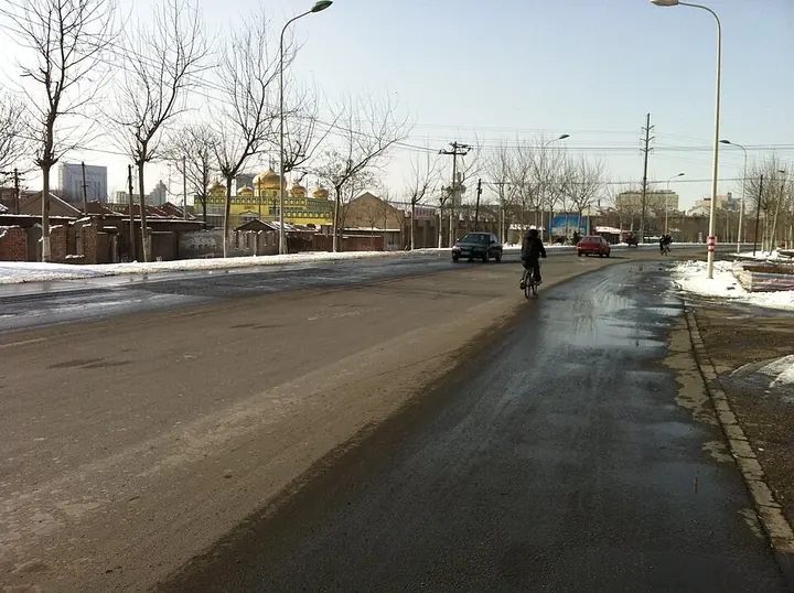
Photo adjustments
Full frame retained; proportionally resized and converted to WebP. No retouching or changes to the photographed subject. Card displays may crop the view.
- Administrative area
- District · 市辖区
- Part of
- Tianjin
- Chinese name
- 宁河区
- Local areas
- District guide
Area & population
- Area in the source
- 1,154.00 km²
- Population · 2020
- 395,333
Source: cited geographic source, as of the dates shown.
Tianzun Pavilion and woodblock pictures
Tianzun Pavilion (天尊阁) faces south in the southern part of Fengtai’s town area. Its three-tiered eaves and timber structure display Ming architectural characteristics. The Dongfengtai Woodblock New Year Picture Museum (东丰台木版年画博物馆) presents a local craft that began in the mid-Ming period and flourished under the Qing Qianlong emperor.
Islands, shallows and local products
Qixing Island Wetland Scenic Area (七星岛湿地风景区), in Qilihai Town, combines open water, branching channels and varied vegetation. Five islands and three shallows were shaped using the existing terrain and water, creating habitat and migration stopovers for birds. Ninghe’s local products include rice, Qilihai river crabs and Lutaichun wine (芦台春酒). The Lutaichun cultural park traces its brewing origins to Dehe Winery (德和酒坊), founded in 1662.
Sources for this guide
天津·宁河“问寻天尊阁” · Ministry of Culture and Tourism
Original English written from the listed sources and checked sentence by sentence against quoted extracts by a separate reviewer. Updated 2026-09-27.
Explore Ninghe District
Core places to explore, with English and Chinese names.
Places to explore around Ninghe District
 AI illustration · AI
 Plan your visit
Getting there
Ninghe District is about 55 km in a straight line from central Tianjin. Search for 宁河区 in a map app to find stations and your accommodation.
Where to stay →Build your route
Start with Tianzun Pavilion. The linked place guides have entrance and visit details.
Continue with Tianjin →More in Tianjin
Sources & geographic information
Administrative names and parent areas: Official geographic directory · Reference date 2026-09-06.
Map data © OpenStreetMap contributors. Pins mark approximate centres, not entrances or boundaries.