


Get to know Wuqing District
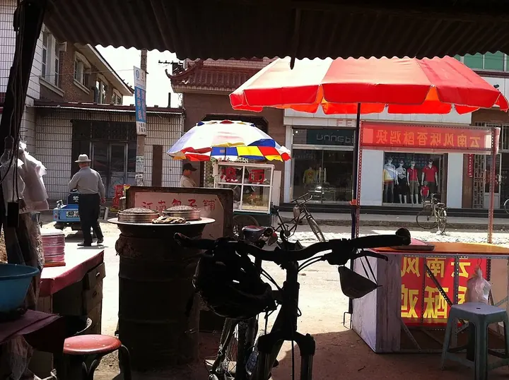
Photo adjustments
Full frame retained; proportionally resized and converted to WebP. No retouching or changes to the photographed subject. Card displays may crop the view.
- Administrative area
- District · 市辖区
- Part of
- Tianjin
- Chinese name
- 武清区
- Local areas
- District guide
Area & population
- Area in the source
- 1,570.00 km²
- Population · 2020 census
- 1,153,235
Source: cited geographic source, as of the dates shown.
A canal landscape with images of transport
The local canal stretch is also called the Lu River (潞河), or North Canal (北运河). During the Ming and Qing periods, grain, silk, tea and sugar passed through Wuqing on their way to the capital. A cultural park beside the canal interprets this history through sculptures, inscriptions, murals and illustrations of grain transport.
Gardens and calligraphy
Nanhu Green Expo Park (南湖绿博园) hosted the third China Greenery Exposition (中国绿化博览会). Wuqing Museum (武清博物馆), completed in 2014, includes a calligraphy-and-painting gallery. Another object associated with the district is the Xianyu Huang Stele (鲜于璜碑): dated to 165 CE and excavated at Lancheng (兰城) in 1973, it is held by Tianjin Museum (天津博物馆). Its script exemplifies square-ended brushwork in Han clerical calligraphy.
Sources for this guide
文脉丨京津明珠 幸福武清 · Wuqing government, Publicity Department, Discipline Inspection Commission and Museum; Tianjin Commission for Discipline Inspection
Original English written from the listed sources and checked sentence by sentence against quoted extracts by a separate reviewer. Updated 2026-09-27.
Explore Wuqing District
Core places to explore, with English and Chinese names.
Places to explore around Wuqing District
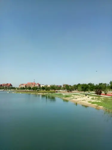 Nanhu Green Expo Park ·
 Plan your visit
Getting there
Wuqing District is about 30 km in a straight line from central Tianjin. Search for 武清区 in a map app to find stations and your accommodation.
Where to stay →Build your route
Start with Nanhu Green Expo Park. The linked place guides have entrance and visit details.
Continue with Tianjin →More in Tianjin
Sources & geographic information
Administrative names and parent areas: Official geographic directory · Reference date 2026-09-06.
Photo: Nanhu Green Expo Park · Source photographer · License not provided. EXIF orientation normalized; resized without changing aspect ratio; converted to WebP. No subject edits.
Map data © OpenStreetMap contributors. Pins mark approximate centres, not entrances or boundaries.