


Get to know Fuping County
- Administrative area
- County · 县
- Part of
- Baoding
- Chinese name
- 阜平县
- Local areas
- County guide
Area & population
- Area in the source
- 2,497.00 km²
- Population · 2020 census
- 194,004
- Administrative seat
- Fuping Town (阜平镇)
Source: cited geographic source, as of the dates shown.
Setting and landscape
The whole county is mountainous: the ground climbs from about 200 metres in the southeast to 2,200 metres in the northwest, and locals sum it up as "nine parts mountain, half water, half field". Waitou Mountain (歪头山), at 2,286.2 metres, is the highest peak in Baoding. Six rivers of the Daqing River (大清河) system, among them the Dasha (大沙河) and the Yanzhi (胭脂河), run all year and all flow into the Wangkuai Reservoir (王快水库). Winters are cold and dry with little snow; summers are hot and humid. The county town lies 78 kilometres east of Mount Wutai (五台山).
History
The name means "prosperous and peaceful". The Northern Song carved Beizhai (北寨) out of Xingtang County (行唐县) in 999, and the Jin created Fuping County in 1193. The county was abolished in 1659, restored in 1683, and its seat returned to the present town in 1745.
In 1931 Fuping formed the first Soviet county government in northern China, and from 1937 it was the centre of the Jin-Cha-Ji base, the first Communist base behind Japanese lines. Marshal Nie Rongzhen (聂荣臻) spent 11 years here. In April 1948 Mao Zedong brought the central Party organs to Chengnanzhuang (城南庄), where the May Day Slogans (五一口号) called for a political consultative conference and a new coalition government. The county government adds that the first Selected Works of Mao Zedong and the first set of renminbi notes were printed here.
What to see
Longquan Pass (龙泉关) on the Great Wall is called the eastern gate to Mount Wutai, and the old imperial road that the Kangxi and Qianlong emperors took to Wutai runs through the county. Shifotang (石佛堂), a Tang-dynasty cave, is a provincial protected site, and Shenxian Mountain (神仙山), also called Damao Mountain (大茂山), is the ancient Northern Peak (古北岳) on the border with Tang County (唐县) and Laiyuan County (涞源县).
Wartime sites include Mao's former residence at Huashan village (花山村), the Shijiazhai cave dwellings (史家寨窑洞群), the old Jin-Cha-Ji Daily office at Malan village (马兰村) and the 4A-rated Jin-Cha-Ji Border Region Revolutionary Memorial (晋察冀边区革命纪念馆). For scenery, the 4A-rated Tianshengqiao Waterfalls (天生桥瀑布) drop in nine falls, and Yunhua Valley (云花溪谷) is also rated 4A.
Highlights
- Tianshengqiao Waterfalls 天生桥瀑布: 4A-rated scenic area with a chain of nine waterfalls.
- Longquan Pass 龙泉关: Great Wall pass described as the eastern gate to Mount Wutai.
- Chengnanzhuang 城南庄: Where Mao issued the May Day Slogans in 1948.
- Shifotang 石佛堂: Tang-dynasty cave, a Hebei provincial protected site.
- Waitou Mountain 歪头山: 2,286.2 metres, the highest peak in Baoding.
Explore Fuping County
Core places to explore, with English and Chinese names.
Places to explore around Fuping County
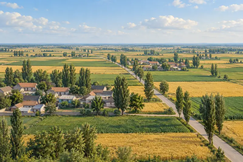
 AI illustration · AI
 Plan your visit
Getting there
Fuping County is about 110 km in a straight line from central Baoding. Search for 阜平县 in a map app to find stations and your accommodation.
Where to stay →Build your route
Start with Tianshengqiao Waterfalls. The linked place guides have entrance and visit details.
Continue with Baoding →More in Baoding
Sources & geographic information
Administrative names and parent areas: Official geographic directory · Reference date 2026-09-06.
Map data © OpenStreetMap contributors. Pins mark approximate centres, not entrances or boundaries.