


Get to know Nanle County
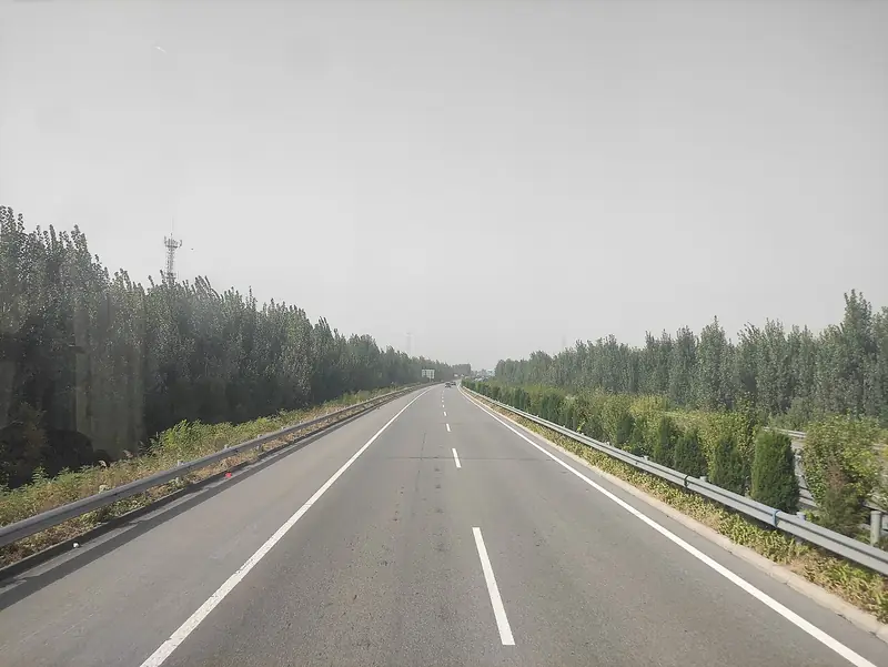
Photo adjustments
EXIF orientation normalized; resized without changing aspect ratio; converted to WebP. No subject edits.
- Administrative area
- County · 县
- Part of
- Puyang
- Chinese name
- 南乐县
- Local areas
- County guide
Area & population
- Area in the source
- 623.00 km²
- Population · 2019
- 458,900
Source: cited geographic source, as of the dates shown.
Setting and landscape
The county sits on a flood plain built up by the Yellow River, between 42 and 50 metres above sea level and falling gently from southwest to northeast; sand dunes rise only along two old Yellow River courses in the northwest and southeast. Three rivers of the Hai River system cross it. The Wei River (卫河) entered the county in 1816 and carried boats until its water fell after 1964. The Majia River (马颊河) is named for its horse-cheek shape, and the Tuhai River (徒骇河) forms the border with Shen County (莘县) in Shandong.
History
A county called Lechang (乐昌) was first set up here early in the Western Han. In 916 Li Cunxu (李存勖), Prince of Jin, renamed it Nanle, "southern Le", to avoid his grandfather Li Guochang's name and because the new seat lay south of the old one. In 1081 the town was moved east to its present site to escape river floods. Nanle mostly belonged to Daming (大名) from the Song to the Qing; it passed to Henan in 1952 and to Puyang in 1983.
What to see
The Cangjie Tomb (仓颉陵) at Shiguan village (史官村) is an earth mound 3 metres high, held to be the grave of Cangjie (仓颉), the sage credited with creating Chinese writing, with a temple on its west side and Ming-dynasty stone figures, lions and a stone archway in front. Beneath it lies the Shiguan site (史官遗址), a Neolithic village listed as a national protected site in 2019. The Cangjie temple fair on the 24th day of the first lunar month is on Henan's intangible-heritage list.
In the county town, the Confucian Temple (南乐文庙) on South Street was founded in 1370, and one of the "eight great pagoda trees" said to date from the Tang still stands at the Guandi temple, 15.7 metres tall. The Han tombs at Songgengluo (宋耿落汉墓群), brick tombs with several chambers, yielded a stone inkstone with a coiled dragon, now in the National Museum, and a pottery granary tower now in the Henan Museum; they became a provincial protected site in 2016.
Food and local products
Nanle zhuangmo (南乐壮馍) is a round meat pie about 30 centimetres across, four layers of pastry around a mainly lamb filling, cooked on a flat iron pan until golden. "Chicken-nest" sesame cakes (鸡窝烧饼) take their name from the nest-shaped oven and have three layers. Xishao red apricots (西邵红杏) became the county's first national geographical-indication product in 2012, and Gusilang carrots (古寺郎胡萝卜) received a geographical-indication certificate from the Ministry of Agriculture in 2011.
Highlights
- Cangjie Tomb 仓颉陵: Mound and temple of Cangjie at Shiguan village, over a Neolithic site listed nationally in 2019.
- Songgengluo Han Tombs 宋耿落汉墓群: Multi-chamber brick tombs; a coiled-dragon inkstone from them is in the National Museum.
- Nanle Confucian Temple 南乐文庙: Temple on South Street in the county town, founded in 1370.
- Nanle zhuangmo 南乐壮馍: Four-layer round pie with a lamb filling, cooked on a flat iron pan.
- Xishao red apricots 西邵红杏: The county's first national geographical-indication product (2012).
Sources for this guide
历史沿革_南乐县人民政府 · Nanle County People's Government
自然环境_南乐县人民政府 · Nanle County People's Government
旅游资源_南乐县人民政府 · Nanle County People's Government
南乐饮食_南乐县人民政府 · Nanle County People's Government
仓颉陵 (南乐县) · Wikipedia (Chinese) · CC BY-SA 4.0
Original English written from the listed sources and checked sentence by sentence against quoted extracts by a separate reviewer. Updated 2026-09-24.
Explore Nanle County
Core places to explore, with English and Chinese names.
Nanle County 南乐县
Plan your visit
Getting there
Nanle County is about 40 km in a straight line from central Puyang. Search for 南乐县 in a map app to find stations and your accommodation.
Where to stay →More in Puyang
Sources & geographic information
Administrative names and parent areas: Official geographic directory · Reference date 2026-09-06.
Some facts checked against 仓颉陵 (南乐县) — Wikipedia contributors, CC BY-SA 4.0.
Map data © OpenStreetMap contributors. Pins mark approximate centres, not entrances or boundaries.