


Get to know Liangcheng County
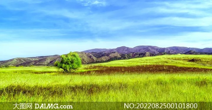
Photo adjustments
EXIF orientation normalized; resized without changing aspect ratio; converted to WebP. No subject edits.
- Administrative area
- County · 县
- Part of
- Ulanqab
- Chinese name
- 凉城县
- Local areas
- County guide
Area & population
- Area in the source
- 3,437.00 km²
- Population · 2020
- 119,061
- Administrative seat
- Tagin Nur
Source: cited geographic source, as of the dates shown.
Setting and landscape
The county government sums up the land as "seven parts mountain, one part water, two parts flats". To the north the narrow, steep Manhan range (蛮汉山) rises to 2,305 metres; to the south the broader, gentler Matou range (马头山) reaches 2,042 metres. Between them lies the Daihai basin, a sunken inland basin averaging 1,731.5 metres. The climate is semi-arid and continental, with Januarys around −13 °C, Julys around 20.5 °C, about 120 frost-free days and most rain in July and August.
History
The county government traces the name to Liangcheng commandery (凉城郡), set up by the Northern Wei in 497; the "Water Classic" (水经) places its seat seven li north of the lake. Under the Jin and Yuan the area was Xuanning County (宣宁县), centred on today's Maihutu (麦胡图镇). Chahar Mongols settled here in 1675, and in 1750 the Qing created Ningyuan subprefecture (宁远厅), which became a county in 1912 and, because another county shared its name, was renamed Liangcheng in 1914.
What to see
The county has 291 recorded ancient sites. The Daihai site cluster (岱海遗址群), represented by the Laohushan (老虎山), Yuanzigou (园子沟) and Wangmushan (王墓山) sites, was listed in 2001 in the fifth batch of national key cultural relic protection sites. The county government calls Daihai Inner Mongolia's third-largest inland lake; the county government reports a sharp fall in the lake's level and a water-protection programme launched in 2016. The Mapao hot spring (马刨温泉) stays at about 38 °C all year.
The Manhan range is covered in birch woods, and Erlongshitai (二龙什台) was named a national forest park in 1993. The He Long revolutionary site (贺龙革命活动旧址), a regional protected monument, is one of three places in China commemorating Marshal He Long (贺龙). The first phase of Liangcheng International Ski Resort (凉城国际滑雪场) opened in January 2018, and the resort has hosted events of the 14th National Winter Games. Old temples named by the county include the Tiancheng Guandi Temple (天成关帝庙) and the Longhua Sanhui Temple (龙华三会寺).
Getting oriented
The county seat is Hongmao (鸿茅镇). The county government puts Hohhot 100 kilometres to the west, Jining 90 kilometres to the north, Datong 110 kilometres to the south and Beijing 400 kilometres to the southeast.
Highlights
- Daihai 岱海: Inland lake at the centre of the county, called Inner Mongolia's third largest by the county government.
- Daihai site cluster 岱海遗址群: Prehistoric sites including Laohushan and Yuanzigou, national key cultural relic protection sites since 2001.
- Mapao hot spring 马刨温泉: Hot spring at about 38 °C all year.
- Erlongshitai National Forest Park 二龙什台国家森林公园: National forest park since 1993.
Sources for this guide
凉城概况 - 凉城县人民政府 · Liangcheng County People's Government
历史沿革 - 凉城县人民政府 · Liangcheng County People's Government
旅游业发展 - 凉城县人民政府 · Liangcheng County People's Government
Original English written from the listed sources and checked sentence by sentence against quoted extracts by a separate reviewer. Updated 2026-09-26.
Explore Liangcheng County
Core places to explore, with English and Chinese names.
Liangcheng County 凉城县
Plan your visit
Getting there
Liangcheng County is about 75 km in a straight line from central Ulanqab. Search for 凉城县 in a map app to find stations and your accommodation.
Where to stay →More in Ulanqab
Sources & geographic information
Administrative names and parent areas: Official geographic directory · Reference date 2026-09-06.
Map data © OpenStreetMap contributors. Pins mark approximate centres, not entrances or boundaries.